Transport Functions
Multimodal
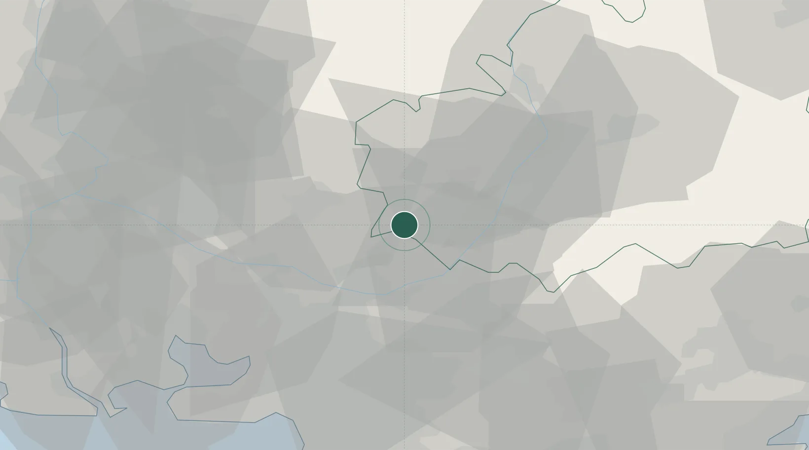
Hub Profile
Place type
Populated place
Region
Provence-Alpes-Côte d'Azur
Population
64
Time zone
Europe/Paris
Elevation
562 m
Location
Nearby Logistics Neighbours
Cities
- 1Grambois10 km
- 2Caseneuve13 km
- 3Sainte-Tulle13 km
- 4La Motte-d'Aigues13 km
- 5Beaumont-de-Pertuis14 km
Ports
- 1Marseille63 km
- 2Port-de-Bouc72 km
- 3Fos77 km
- 4Port Saint Louis Du Rhone84 km
- 5Toulon87 km
Airports
Trade Zones
- 1ZFU Marseille 15e et 16e62 km
- 2ZFU Avignon67 km
- 3ZFU Saint-Barthélémy, Le Canet, Delorme-Paternelle71 km
- 4ZFU Toulon85 km
- 5ZFU La Seyne-sur-Mer87 km
DatabookThe Record of Consolidated Knowledge
France beyond logistics?