UN/LOCODE hub · France
FRB6P
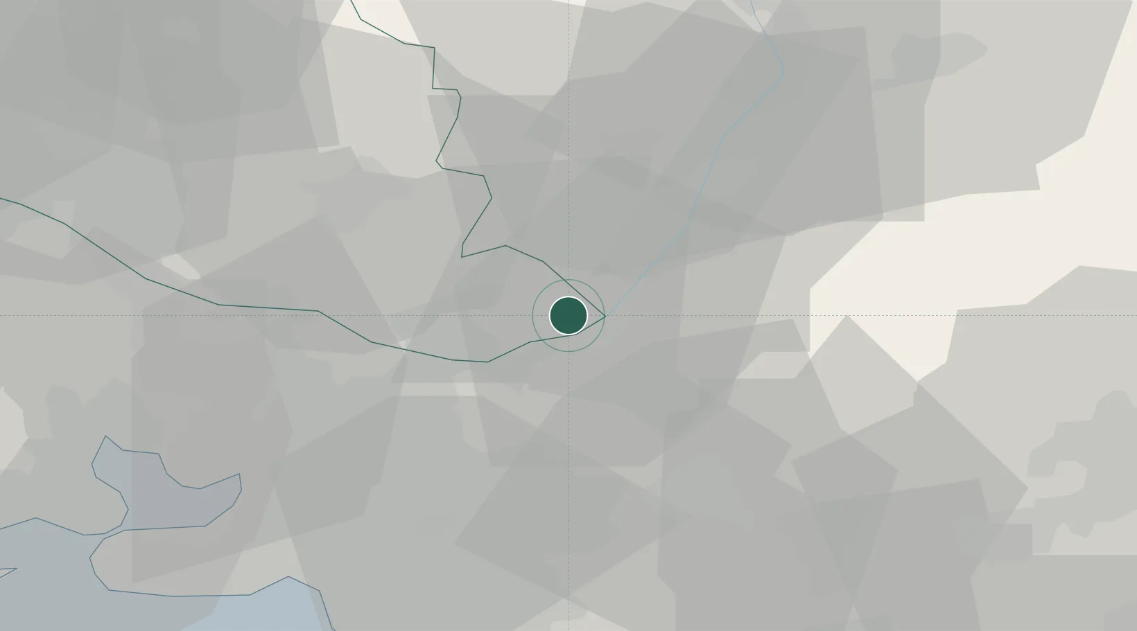
Beaumont-de-Pertuis
43.7333°, 5.7000°
1,008
Population
2
Transport functions
Transport Functions
Port
Multimodal
Hub Profile
Place type
Populated place
Region
Provence-Alpes-Côte d'Azur
Population
1,008
Time zone
Europe/Paris
Elevation
370 m
Location
Nearby Logistics Neighbours
Cities
- 1Sainte-Tulle8 km
- 2Grambois10 km
- 3La Bastidonne11 km
- 4Jouques12 km
- 5Montjustin14 km
Ports
- 1Marseille54 km
- 2Port-de-Bouc69 km
- 3Toulon73 km
- 4Fos75 km
- 5Port Saint Louis Du Rhone81 km
Airports
Trade Zones
- 1ZFU Marseille 15e et 16e52 km
- 2ZFU Saint-Barthélémy, Le Canet, Delorme-Paternelle63 km
- 3ZFU Toulon71 km
- 4ZFU La Seyne-sur-Mer73 km
- 5ZFU Avignon76 km
DatabookThe Record of Consolidated Knowledge
France beyond logistics?