UN/LOCODE hub · France
FRSQF

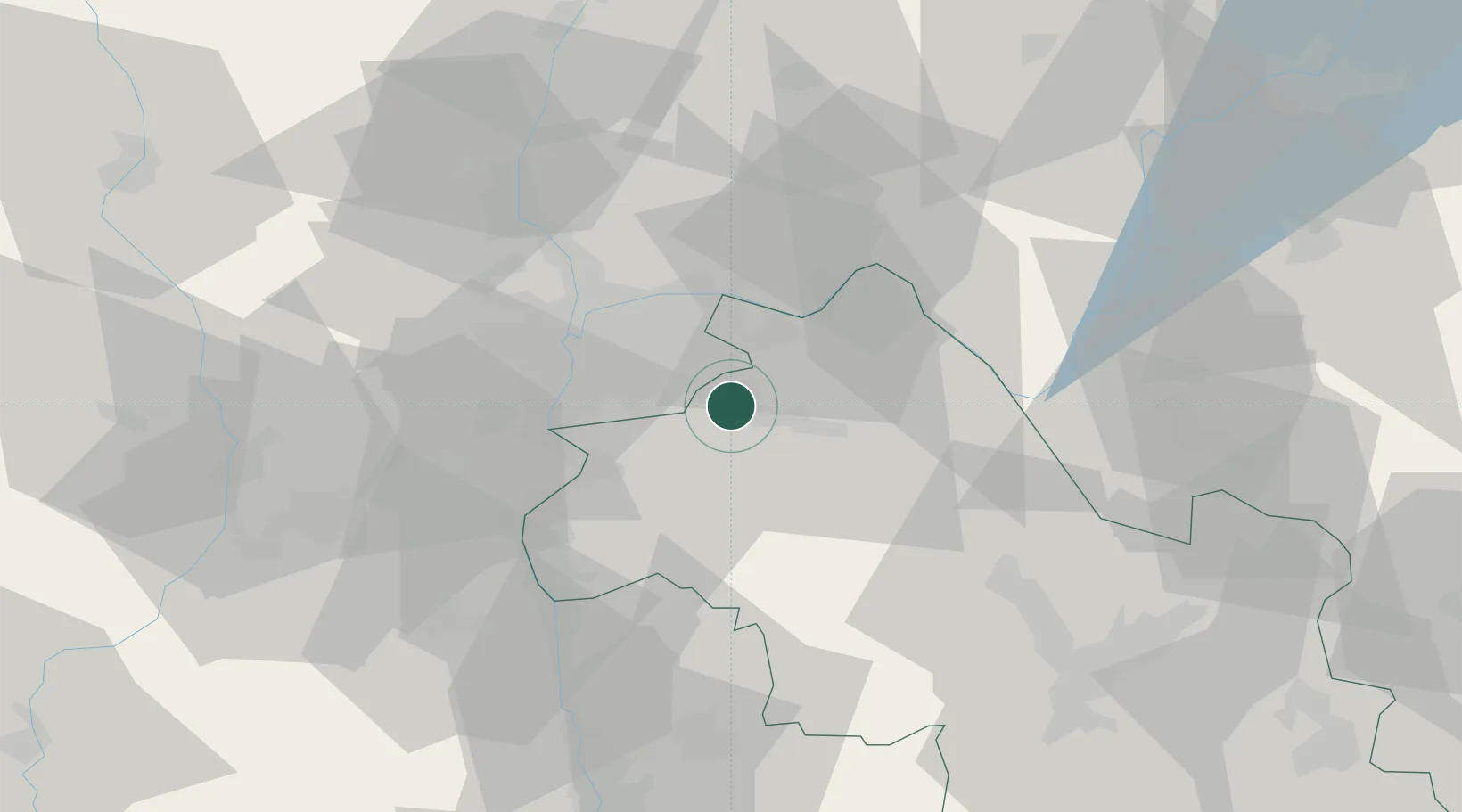
Saint-Quentin-Fallavier

45.6333°, 5.1167°
6,302
Population
1
Transport functions

Transport Functions

Rail
UN/LOCODE

Hub Profile

Place type
Populated place
GeoNames
Region
Rhône-Alpes
GeoNames
Population
6,302
GeoNames
Time zone
Europe/Paris
GeoNames
Elevation
235 m
GeoNames

Location

Location of FRSQF
Natural Earth 10m (public domain) · Rhône-Alpes · FRSQF · 45.63, 5.12GoogleOSMYandex

Nearby Logistics Neighbours

Cities
  1. 1Frontonas6 km
  2. 2L'Isle-d'Abeau9 km
  3. 3Colombier-Saugnieu9 km
  4. 4Saint-Exupéry Apt/Lyon10 km
  5. 5Janneyrias13 km
Nearest neighbours — logibook spatial index (haversine) over the source coordinates
Ports
  1. 1Fos247 km
  2. 2Port-de-Bouc249 km
  3. 3Port Saint Louis Du Rhone251 km
  4. 4Marseille258 km
  5. 5Sete273 km
Nearest neighbours — logibook spatial index (haversine) over the source coordinates
Airports
  1. 1Lyon Saint-Exupéry Airport11 km
  2. 2Lyon Bron Airport17 km
  3. 3Grenoble Alpes Isère Airport34 km
  4. 4Ambérieu Air Base (BA 278)43 km
  5. 5Chambéry Aix les Bains airport59 km
Nearest neighbours — logibook spatial index (haversine) over the source coordinates
Trade Zones
  1. 1ZFU Vénissieux22 km
  2. 2ZFU Vaulx-en-Velin22 km
  3. 3ZFU Lyon 9e29 km
  4. 4ZFU Rillieux-la-Pape29 km
  5. 5ZFU Grenoble67 km
Nearest neighbours — logibook spatial index (haversine) over the source coordinates
DatabookThe Record of Consolidated Knowledge
France beyond logistics?
Browse databook

All Sources

LocationsUN/LOCODE
UN/LOCODE — free
LocationsGeoNames
CC BY 4.0
Portsthe NGA World Port Index
Public domain (US gov)
AirportsOurAirports
Public domain
Trade Zonesthe World Bank SEZ database
CC BY 4.0
Trade ZonesOpen Zone Map
CC BY
← France locations