Transport Functions
Multimodal
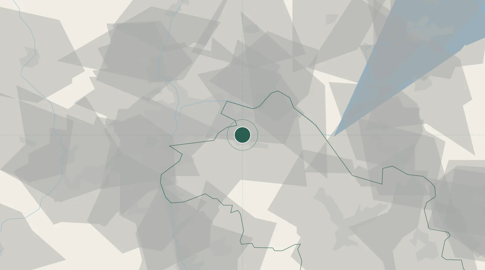
Hub Profile
Place type
Populated place
Region
Rhône-Alpes
Population
1,852
Time zone
Europe/Paris
Elevation
269 m
Location
Nearby Logistics Neighbours
Cities
- 1L'Isle-d'Abeau5 km
- 2Saint-Quentin-Fallavier6 km
- 3Colombier-Saugnieu9 km
- 4Saint-Exupéry Apt/Lyon12 km
- 5Ruy13 km
Ports
- 1Fos250 km
- 2Port-de-Bouc251 km
- 3Port Saint Louis Du Rhone254 km
- 4Marseille260 km
- 5Nice273 km
Airports
Trade Zones
- 1ZFU Vaulx-en-Velin25 km
- 2ZFU Vénissieux26 km
- 3ZFU Rillieux-la-Pape32 km
- 4ZFU Lyon 9e32 km
- 5ZFU Grenoble65 km
DatabookThe Record of Consolidated Knowledge
France beyond logistics?