Transport Functions
Rail
Road
Postal
Hub Profile
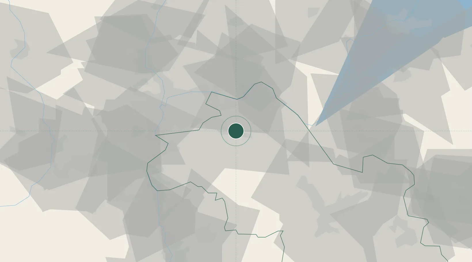
Place type
Populated place
Region
Rhône-Alpes
Population
12,033
Time zone
Europe/Paris
Elevation
235 m
Location
Nearby Logistics Neighbours
Cities
- 1Frontonas5 km
- 2Ruy8 km
- 3Nivolas-Vermelle9 km
- 4Saint-Quentin-Fallavier9 km
- 5Colombier-Saugnieu14 km
Ports
- 1Fos246 km
- 2Port-de-Bouc247 km
- 3Port Saint Louis Du Rhone251 km
- 4Marseille256 km
- 5Nice268 km
Airports
Trade Zones
- 1ZFU Vaulx-en-Velin30 km
- 2ZFU Vénissieux31 km
- 3ZFU Rillieux-la-Pape37 km
- 4ZFU Lyon 9e38 km
- 5ZFU Grenoble59 km
DatabookThe Record of Consolidated Knowledge
France beyond logistics?