Transport Functions
Multimodal
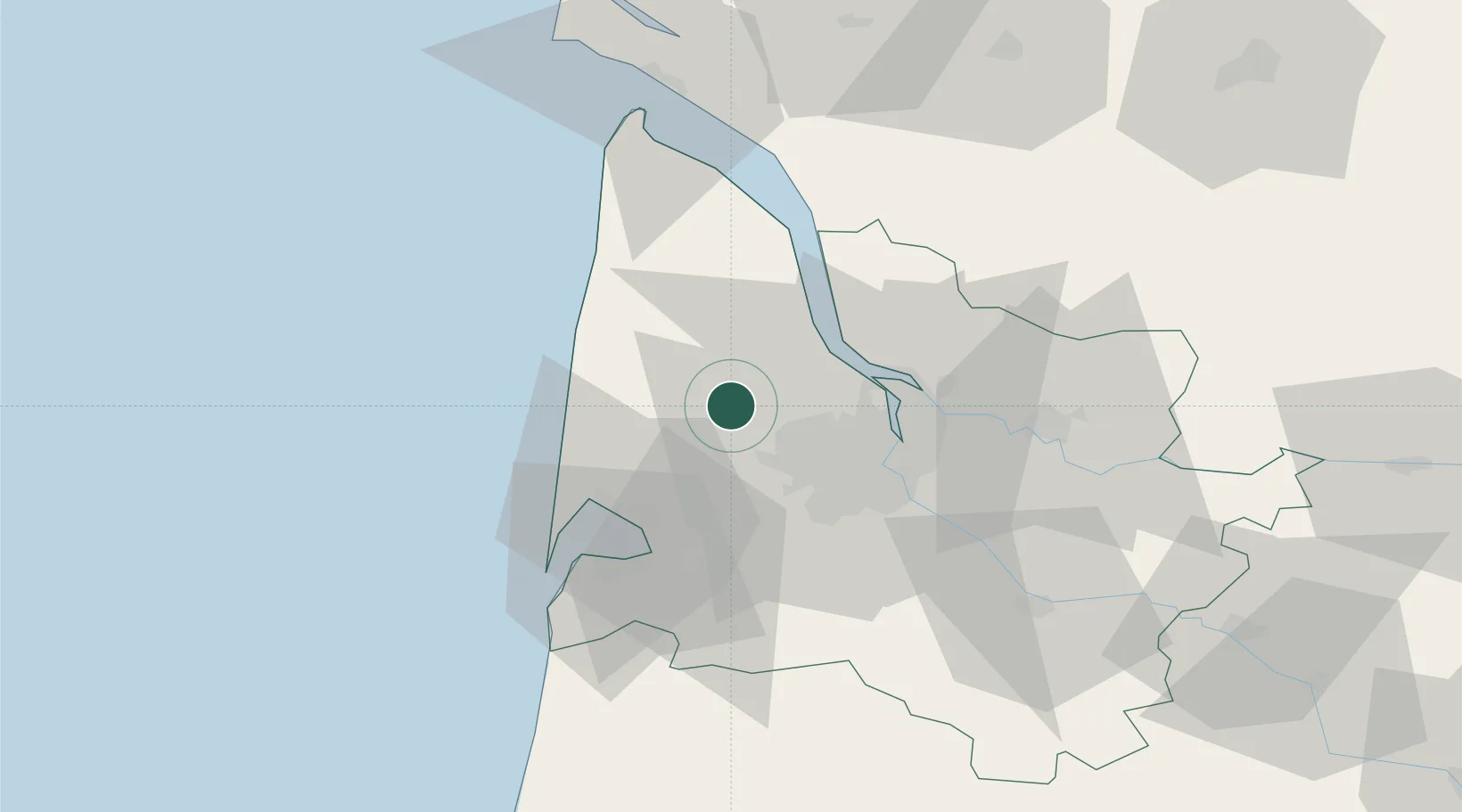
Hub Profile
Place type
Populated place
Region
Nouvelle-Aquitaine
Population
1,925
Time zone
Europe/Paris
Elevation
44 m
Location
Nearby Logistics Neighbours
Cities
- 1Saint-Aubin-de-Médoc13 km
- 2Arsac16 km
- 3Arcins17 km
- 4Martignas-sur-Jalle17 km
- 5Mouliets-et-Villemartin17 km
Airports
Trade Zones
- 1Port de Bordeaux28 km
- 2ZFU Hauts de Garonne29 km
- 3ZFU La Rochelle135 km
- 4Depósito Franco de Pasajes (Guipúzcoa)201 km
- 5ZFU Toulouse239 km
DatabookThe Record of Consolidated Knowledge
France beyond logistics?