UN/LOCODE hub · France
FRMT3
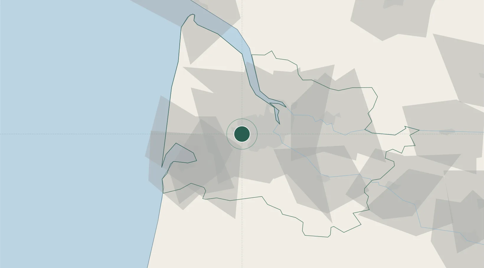
Martignas-sur-Jalle
44.8333°, -0.7667°
6,803
Population
2
Transport functions
Transport Functions
Road
Multimodal
Hub Profile
Place type
Populated place
Region
Nouvelle-Aquitaine
Population
6,803
Time zone
Europe/Paris
Elevation
39 m
Location
Nearby Logistics Neighbours
Cities
- 1Saint-Aubin-de-Médoc10 km
- 2Le Bouscat12 km
- 3Canejean13 km
- 4Bruges14 km
- 5Ambarès-et-Lagrave14 km
Airports
Trade Zones
- 1ZFU Hauts de Garonne15 km
- 2Port de Bordeaux20 km
- 3ZFU La Rochelle152 km
- 4Depósito Franco de Pasajes (Guipúzcoa)192 km
- 5ZFU Toulouse223 km
DatabookThe Record of Consolidated Knowledge
France beyond logistics?