Transport Functions
Port
Multimodal
Hub Profile
Place type
Populated place
Region
Bourgogne
Population
165
Time zone
Europe/Paris
Elevation
240 m
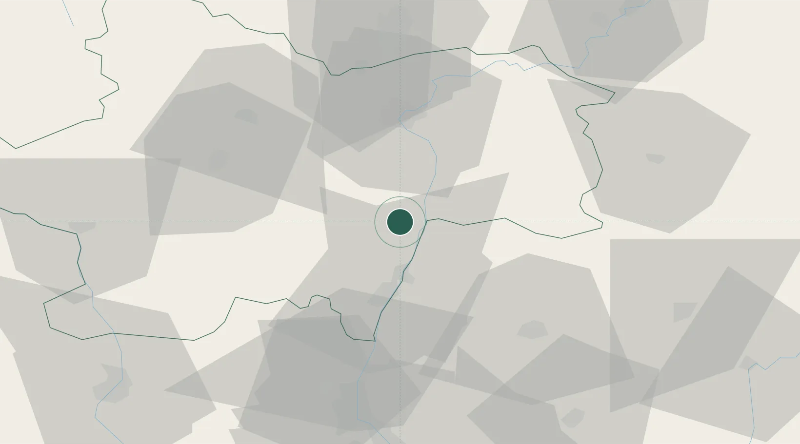
Location
Nearby Logistics Neighbours
Cities
- 1Uchizy1 km
- 2Montbellet2 km
- 3Farges-lès-Mâcon3 km
- 4Cruzille5 km
- 5Viré8 km
Ports
- 1Fos343 km
- 2Port-de-Bouc345 km
- 3Port Saint Louis Du Rhone347 km
- 4Marseille356 km
- 5Sete357 km
Airports
- 1Mâcon-Charnay Airfield23 km
- 2Saint-Yan Airport66 km
- 3Ambérieu Air Base (BA 278)67 km
- 4Dole Tavaux Airport74 km
- 5Roanne-Renaison Airport83 km
Trade Zones
- 1ZFU Rillieux-la-Pape75 km
- 2ZFU Vaulx-en-Velin80 km
- 3ZFU Lyon 9e81 km
- 4ZFU Chenôve88 km
- 5ZFU Vénissieux89 km
DatabookThe Record of Consolidated Knowledge
France beyond logistics?