Transport Functions
Road
Multimodal
Hub Profile
Place type
Populated place
Region
Bourgogne
Population
171
Time zone
Europe/Paris
Elevation
217 m
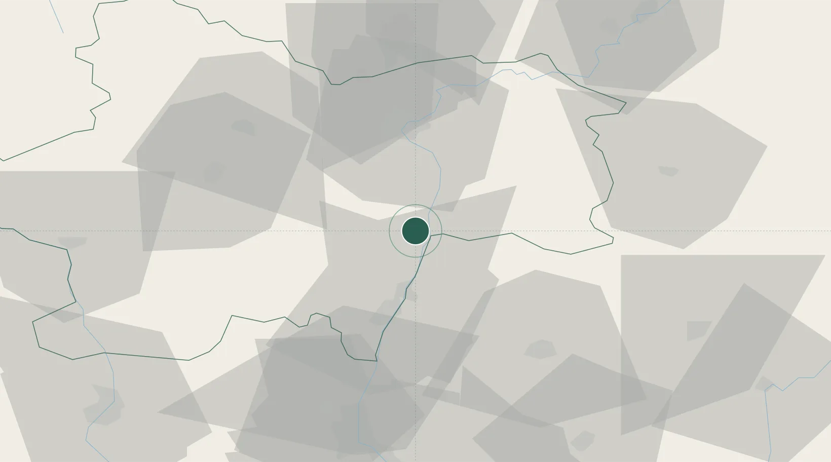
Location
Nearby Logistics Neighbours
Cities
- 1Uchizy2 km
- 2Chardonnay3 km
- 3Montbellet5 km
- 4Lacrost6 km
- 5Cruzille8 km
Ports
- 1Fos345 km
- 2Port-de-Bouc347 km
- 3Port Saint Louis Du Rhone349 km
- 4Marseille358 km
- 5Sete359 km
Airports
- 1Mâcon-Charnay Airfield26 km
- 2Ambérieu Air Base (BA 278)68 km
- 3Saint-Yan Airport69 km
- 4Dole Tavaux Airport71 km
- 5Dijon Longvic airport85 km
Trade Zones
- 1ZFU Rillieux-la-Pape77 km
- 2ZFU Vaulx-en-Velin82 km
- 3ZFU Lyon 9e83 km
- 4ZFU Chenôve86 km
- 5ZFU Vénissieux91 km
DatabookThe Record of Consolidated Knowledge
France beyond logistics?