Transport Functions
Road
Multimodal
Hub Profile
Place type
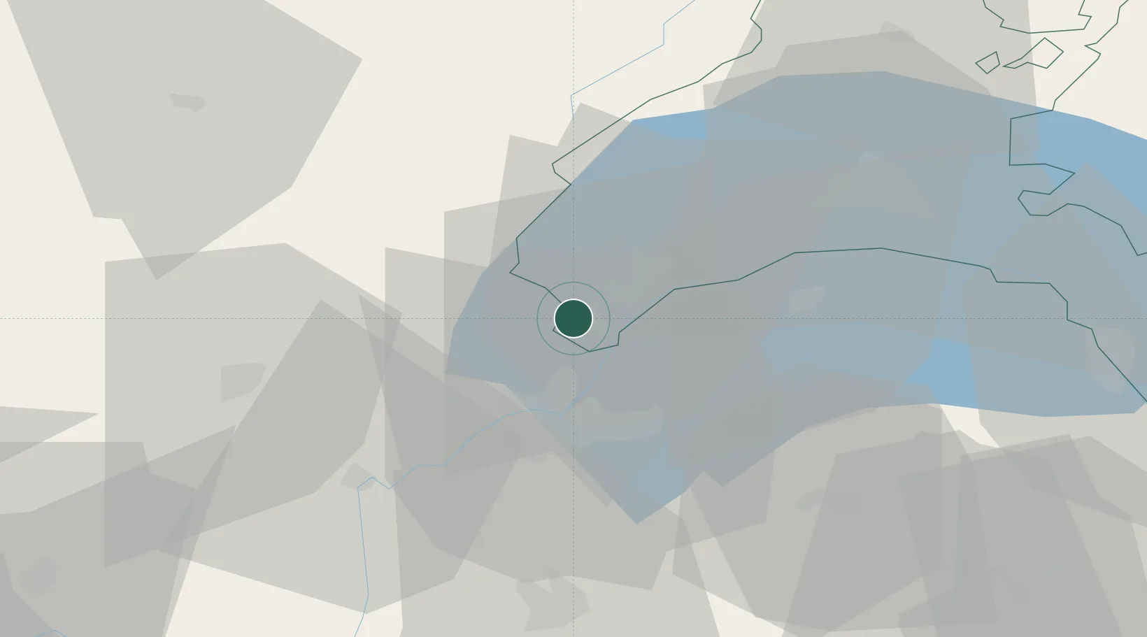
Populated place
Region
Vaud
Population
700
Time zone
Europe/Zurich
Elevation
468 m
Location
Nearby Logistics Neighbours
Cities
- 1Chavannes-de-Bogis2 km
- 2Crassier2 km
- 3Coppet5 km
- 4Mies6 km
- 5Versoix8 km
Ports
- 1Savona291 km
- 2Rada Di Vado294 km
- 3Genova307 km
- 4Monaco308 km
- 5Nice308 km
Airports
- 1Geneva Cointrin International Airport13 km
- 2Annemasse Airfield20 km
- 3Annecy Meythet airport47 km
- 4Ambérieu Air Base (BA 278)75 km
- 5Payerne Air Base80 km
DatabookThe Record of Consolidated Knowledge
Switzerland beyond logistics?