Transport Functions
Multimodal
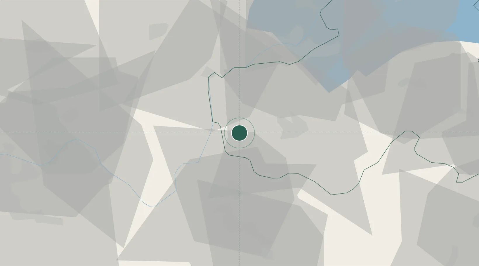
Hub Profile
Place type
Populated place
Region
Rhône-Alpes
Population
1,378
Time zone
Europe/Paris
Elevation
357 m
Location
Nearby Logistics Neighbours
Cities
- 1Marcellaz-Albanais6 km
- 2Nonglard8 km
- 3Ruffieux10 km
- 4Poisy11 km
- 5Corbonod11 km
Ports
- 1Nice267 km
- 2Monaco268 km
- 3Villefranche268 km
- 4San Remo274 km
- 5Antibes275 km
Airports
Trade Zones
DatabookThe Record of Consolidated Knowledge
France beyond logistics?