Transport Functions
Multimodal
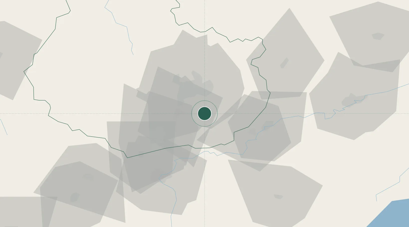
Hub Profile
Place type
Populated place
Region
Bourgogne
Population
590
Time zone
Europe/Paris
Elevation
191 m
Location
Nearby Logistics Neighbours
Cities
- 1Aiserey3 km
- 2Tart-le-Haut6 km
- 3Saulon-la-Chapelle7 km
- 4Brazey-en-Plaine7 km
- 5Saulon-la-Rue8 km
Ports
- 1Port Of Rouen394 km
- 2Savona411 km
- 3Rada Di Vado413 km
- 4Bruxelles415 km
- 5Fos417 km
Airports
- 1Dijon Longvic airport12 km
- 2Dole Tavaux Airport26 km
- 3Vesoul-Frotey Airfield96 km
- 4Mâcon-Charnay Airfield100 km
- 5Luxeuil-Saint-Sauveur (BA 116) Air Base115 km
Trade Zones
DatabookThe Record of Consolidated Knowledge
France beyond logistics?