Transport Functions
Multimodal
Hub Profile
Place type
Populated place
Region
Provence-Alpes-Côte d'Azur
Population
2,113
Time zone
Europe/Paris
Elevation
505 m
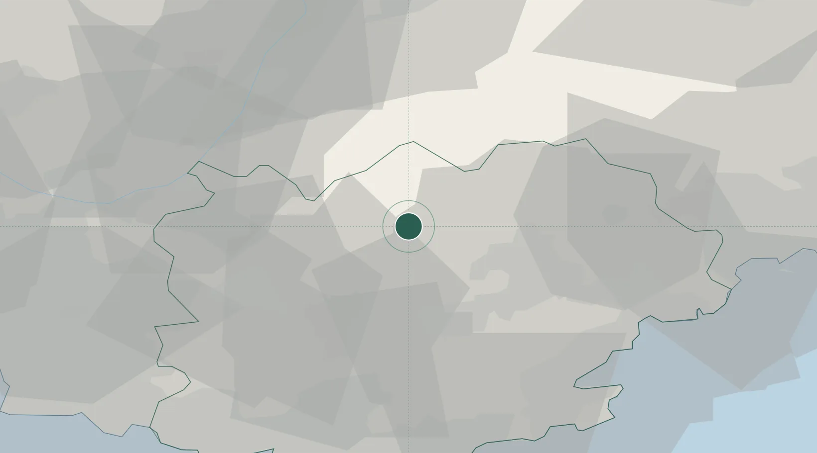
Location
Nearby Logistics Neighbours
Cities
- 1Villecroze5 km
- 2Cotignac11 km
- 3Pontevès16 km
- 4Flayosc16 km
- 5Carcès17 km
Ports
- 1Saint-Raphael48 km
- 2Saint-Tropez51 km
- 3Toulon63 km
- 4Cannes64 km
- 5Antibes73 km
Airports
- 1Le Luc-Le Cannet Airfield29 km
- 2La Môle Airport50 km
- 3Le Castellet Airport54 km
- 4Toulon-Hyères Airport58 km
- 5Cannes Mandelieu Airport59 km
Trade Zones
- 1ZFU Toulon60 km
- 2ZFU La Seyne-sur-Mer67 km
- 3ZFU Marseille 15e et 16e77 km
- 4ZFU LAriane86 km
- 5ZFU Saint-Barthélémy, Le Canet, Delorme-Paternelle89 km
DatabookThe Record of Consolidated Knowledge
France beyond logistics?