UN/LOCODE hub · France
FRPSL
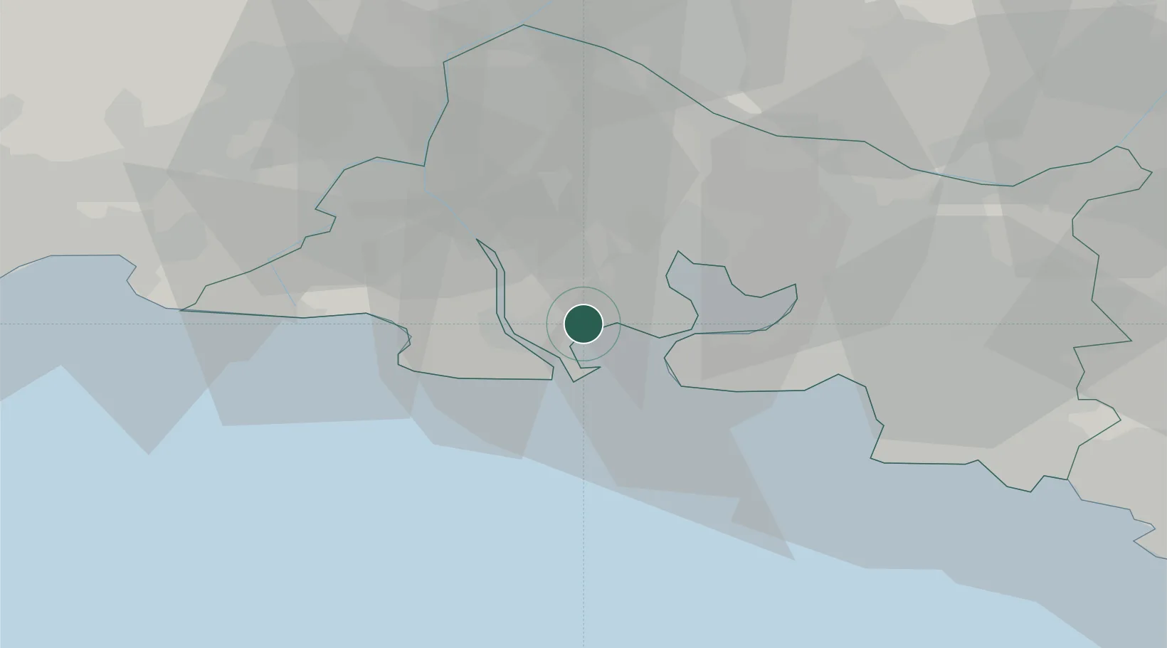
Port-Saint-Louis-du-Rhône
43.4381°, 4.8726°
8,503
Population
2
Transport functions
Transport Functions
Port
Rail
Hub Profile
Place type
Populated place
Region
Provence-Alpes-Côte d'Azur
Population
8,503
Time zone
Europe/Paris
Elevation
2 m
Logistics facilities
6
Location
Nearby Logistics Neighbours
Cities
- 1Fos-sur-Mer1 km
- 2Coussoul/Fos-sur-Mer6 km
- 3Port-de-Bouc10 km
- 4Caronte12 km
- 5Lavéra14 km
Ports
- 1Fos3 km
- 2Port-de-Bouc10 km
- 3Marseille42 km
- 4Toulon93 km
- 5Sete95 km
Airports
Trade Zones
- 1ZFU Saint-Barthélémy, Le Canet, Delorme-Paternelle35 km
- 2ZFU Marseille 15e et 16e42 km
- 3ZFU Avignon57 km
- 4ZFU Nîmes60 km
- 5ZFU Montpellier85 km
DatabookThe Record of Consolidated Knowledge
France beyond logistics?