UN/LOCODE hub · France
FRCOZ

Caronte

43.4000°, 5.0167°
2
Transport functions

Transport Functions

Port
Road
UN/LOCODE

Hub Profile

Region
13
GeoNames

Location

Location of FRCOZ
Natural Earth 10m (public domain) · 13 · FRCOZ · 43.40, 5.02GoogleOSMYandex

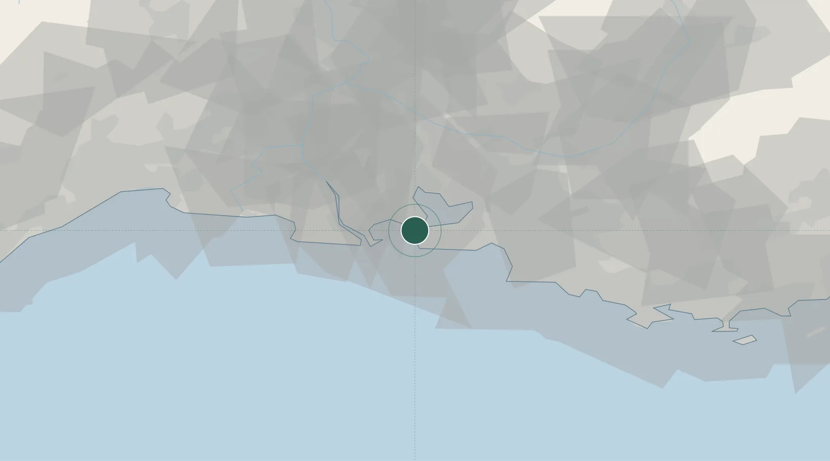
Nearby Logistics Neighbours

Cities
  1. 1Lavéra2 km
  2. 2Port-de-Bouc3 km
  3. 3Martigues3 km
  4. 4la Mède8 km
  5. 5Sausset-les-Pins11 km
Nearest neighbours — logibook spatial index (haversine) over the source coordinates
Ports
  1. 1Port-de-Bouc3 km
  2. 2Fos11 km
  3. 3Port Saint Louis Du Rhone16 km
  4. 4Marseille30 km
  5. 5Toulon80 km
Nearest neighbours — logibook spatial index (haversine) over the source coordinates
Airports
  1. 1Istres-Le Tubé Air Base16 km
  2. 2Marseille Provence Airport16 km
  3. 3Salon-de-Provence (BA 701) Air Base24 km
  4. 4Avignon Caumont airport57 km
  5. 5Nîmes-Arles-Camargue Airport63 km
Nearest neighbours — logibook spatial index (haversine) over the source coordinates
Trade Zones
  1. 1ZFU Saint-Barthélémy, Le Canet, Delorme-Paternelle22 km
  2. 2ZFU Marseille 15e et 16e29 km
  3. 3ZFU Avignon64 km
  4. 4ZFU Nîmes72 km
  5. 5ZFU La Seyne-sur-Mer76 km
Nearest neighbours — logibook spatial index (haversine) over the source coordinates
DatabookThe Record of Consolidated Knowledge
France beyond logistics?
Browse databook

All Sources

LocationsUN/LOCODE
UN/LOCODE — free
Portsthe NGA World Port Index
Public domain (US gov)
AirportsOurAirports
Public domain
Trade Zonesthe World Bank SEZ database
CC BY 4.0
Trade ZonesOpen Zone Map
CC BY
← France locations