Transport Functions
Rail
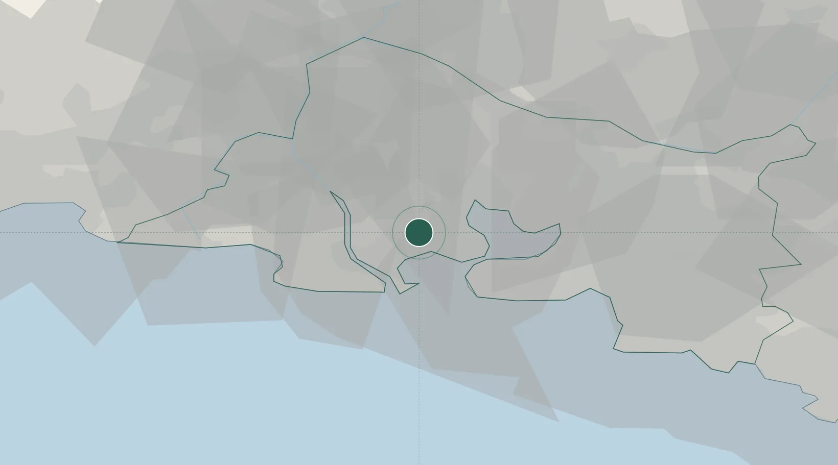
Hub Profile
Region
13
Location
Nearby Logistics Neighbours
Cities
- 1Port-Saint-Louis-du-Rhône6 km
- 2Fos-sur-Mer6 km
- 3Port-de-Bouc12 km
- 4Saint-Chamas13 km
- 5Caronte13 km
Ports
- 1Fos8 km
- 2Port-de-Bouc12 km
- 3Port Saint Louis Du Rhone13 km
- 4Marseille42 km
- 5Toulon93 km
Airports
Trade Zones
- 1ZFU Saint-Barthélémy, Le Canet, Delorme-Paternelle36 km
- 2ZFU Marseille 15e et 16e41 km
- 3ZFU Avignon52 km
- 4ZFU Nîmes59 km
- 5ZFU Montpellier86 km
DatabookThe Record of Consolidated Knowledge
France beyond logistics?