Transport Functions
Port
Rail
Hub Profile
Place type
Populated place
Region
Provence-Alpes-Côte d'Azur
Time zone
Europe/Paris
Elevation
41 m
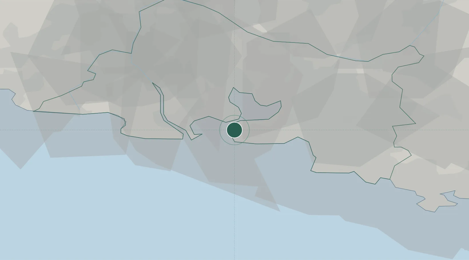
Location
Nearby Logistics Neighbours
Cities
- 1Caronte2 km
- 2Martigues3 km
- 3Port-de-Bouc4 km
- 4la Mède7 km
- 5Sausset-les-Pins9 km
Ports
- 1Port-de-Bouc4 km
- 2Fos13 km
- 3Port Saint Louis Du Rhone18 km
- 4Marseille28 km
- 5Toulon78 km
Airports
Trade Zones
- 1ZFU Saint-Barthélémy, Le Canet, Delorme-Paternelle20 km
- 2ZFU Marseille 15e et 16e27 km
- 3ZFU Avignon66 km
- 4ZFU La Seyne-sur-Mer74 km
- 5ZFU Nîmes74 km
DatabookThe Record of Consolidated Knowledge
France beyond logistics?