Transport Functions
Multimodal
Hub Profile
Place type
Populated place
Region
Hauts-de-France
Population
112
Time zone
Europe/Paris
Elevation
80 m
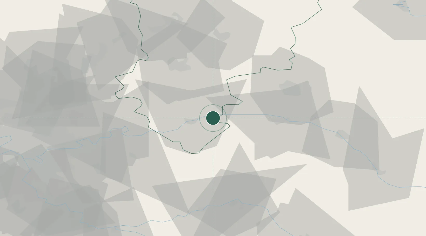
Location
Nearby Logistics Neighbours
Cities
- 1Barzy-sur-Marne2 km
- 2Dormans5 km
- 3Vincelles5 km
- 4Chartèves6 km
- 5Fossoy6 km
Ports
- 1Port Of Rouen186 km
- 2Saint-Valery-Sur-Somme188 km
- 3Le Treport194 km
- 4Dieppe204 km
- 5Bruxelles208 km
Airports
Trade Zones
- 1ZFU Reims37 km
- 2ZFU Presles, Chevreux39 km
- 3ZFU Meaux51 km
- 4ZFU Clichy-sous-Bois et Montfermeil77 km
- 5ZFU Sevran77 km
DatabookThe Record of Consolidated Knowledge
France beyond logistics?