Transport Functions
Multimodal
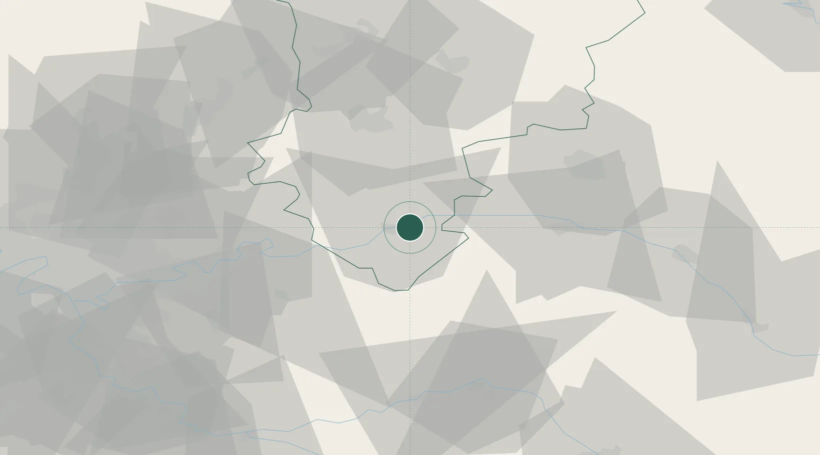
Hub Profile
Place type
Populated place
Region
Hauts-de-France
Population
633
Time zone
Europe/Paris
Elevation
103 m
Location
Nearby Logistics Neighbours
Cities
- 1Brasles4 km
- 2Chartèves4 km
- 3Chierry4 km
- 4Barzy-sur-Marne6 km
- 5Passy-sur-Marne6 km
Ports
- 1Port Of Rouen181 km
- 2Saint-Valery-Sur-Somme184 km
- 3Le Treport190 km
- 4Dieppe199 km
- 5Bruxelles211 km
Airports
Trade Zones
- 1ZFU Presles, Chevreux39 km
- 2ZFU Reims43 km
- 3ZFU Meaux45 km
- 4ZFU Clichy-sous-Bois et Montfermeil70 km
- 5ZFU Sevran71 km
DatabookThe Record of Consolidated Knowledge
France beyond logistics?