Transport Functions
Multimodal
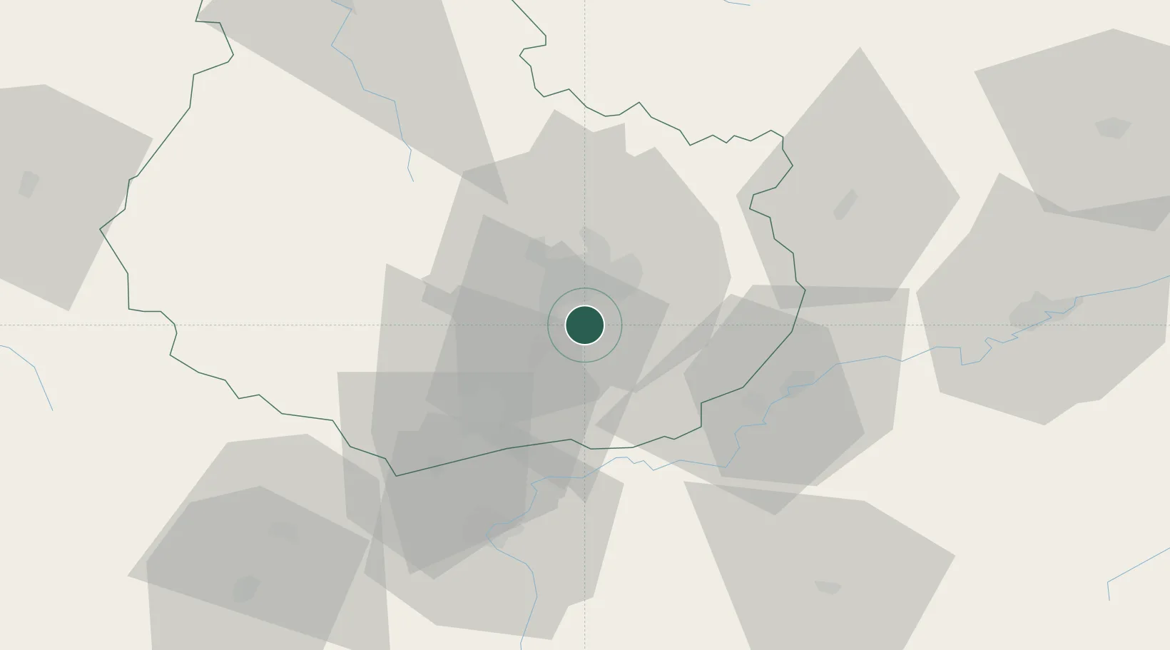
Hub Profile
Place type
Populated place
Region
Bourgogne
Population
543
Time zone
Europe/Paris
Elevation
218 m
Location
Nearby Logistics Neighbours
Cities
- 1Saulon-la-Chapelle1 km
- 2Fénay2 km
- 3Perrigny-lès-Dijon5 km
- 4Dijon6 km
- 5Crimolois7 km
Ports
- 1Port Of Rouen386 km
- 2Bruxelles409 km
- 3Saint-Valery-Sur-Somme416 km
- 4Le Treport417 km
- 5Savona418 km
Airports
- 1Dijon Longvic airport6 km
- 2Dole Tavaux Airport34 km
- 3Vesoul-Frotey Airfield98 km
- 4Mâcon-Charnay Airfield105 km
- 5Luxeuil-Saint-Sauveur (BA 116) Air Base116 km
Trade Zones
DatabookThe Record of Consolidated Knowledge
France beyond logistics?