Transport Functions
Multimodal
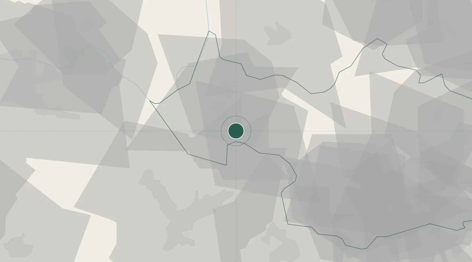
Hub Profile
Place type
Populated place
Region
Rhône-Alpes
Population
3,093
Time zone
Europe/Paris
Elevation
314 m
Location
Nearby Logistics Neighbours
Cities
- 1Jacob-Bellecombette3 km
- 2Challes-les-Eaux3 km
- 3Myans3 km
- 4Apremont4 km
- 5Chambéry5 km
Ports
- 1Nice230 km
- 2Villefranche231 km
- 3Monaco231 km
- 4Cannes236 km
- 5Antibes236 km
Airports
Trade Zones
DatabookThe Record of Consolidated Knowledge
France beyond logistics?