Transport Functions
Multimodal
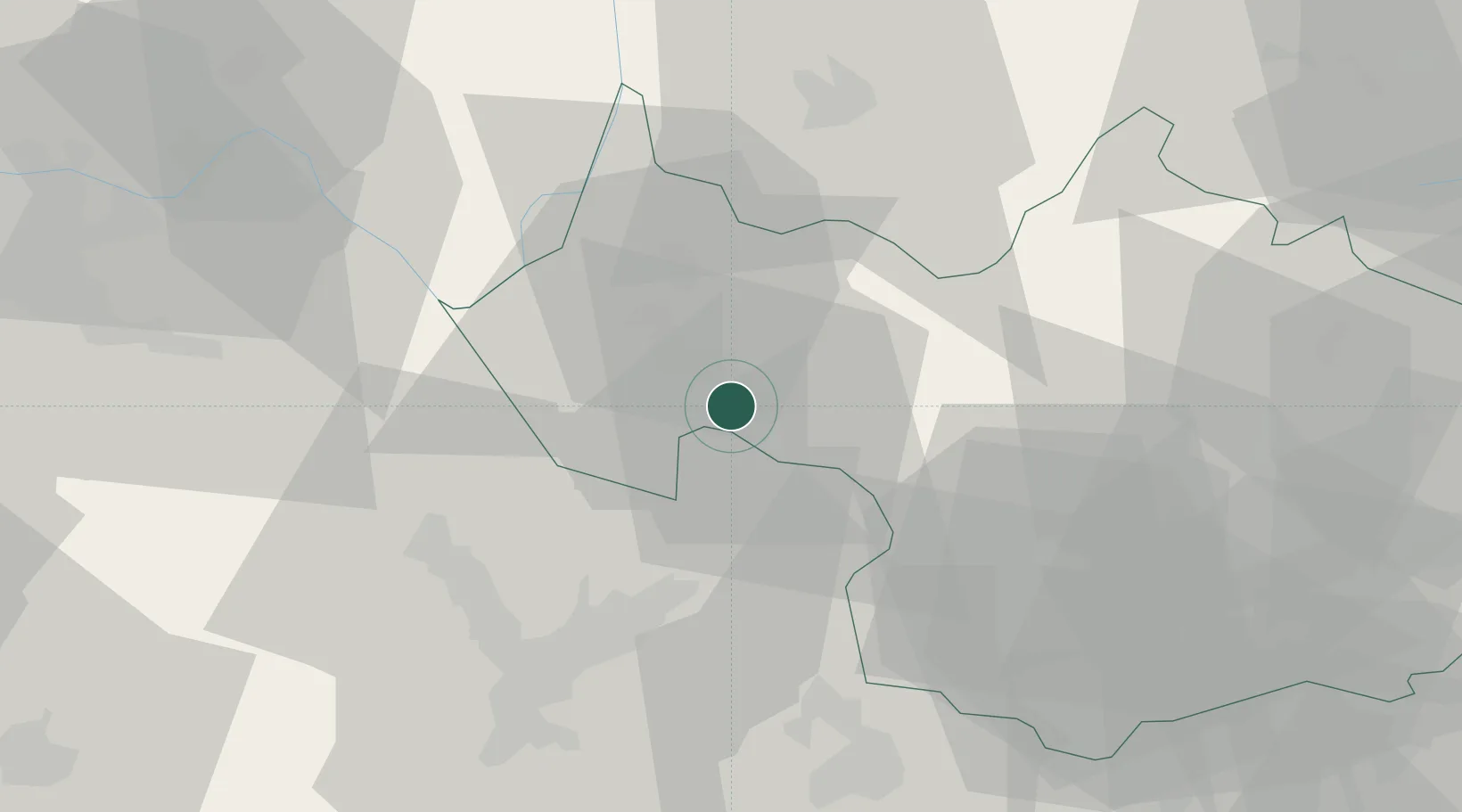
Hub Profile
Place type
Populated place
Region
Rhône-Alpes
Population
966
Time zone
Europe/Paris
Elevation
314 m
Location
Nearby Logistics Neighbours
Cities
- 1Tormery3 km
- 2Chignin3 km
- 3Saint-Baldoph3 km
- 4Apremont3 km
- 5Porte-de-Savoie3 km
Ports
- 1Nice227 km
- 2Villefranche228 km
- 3Monaco228 km
- 4Antibes234 km
- 5Cannes234 km
Airports
Trade Zones
DatabookThe Record of Consolidated Knowledge
France beyond logistics?