UN/LOCODE hub · France
FRJB4
Jacob-Bellecombette
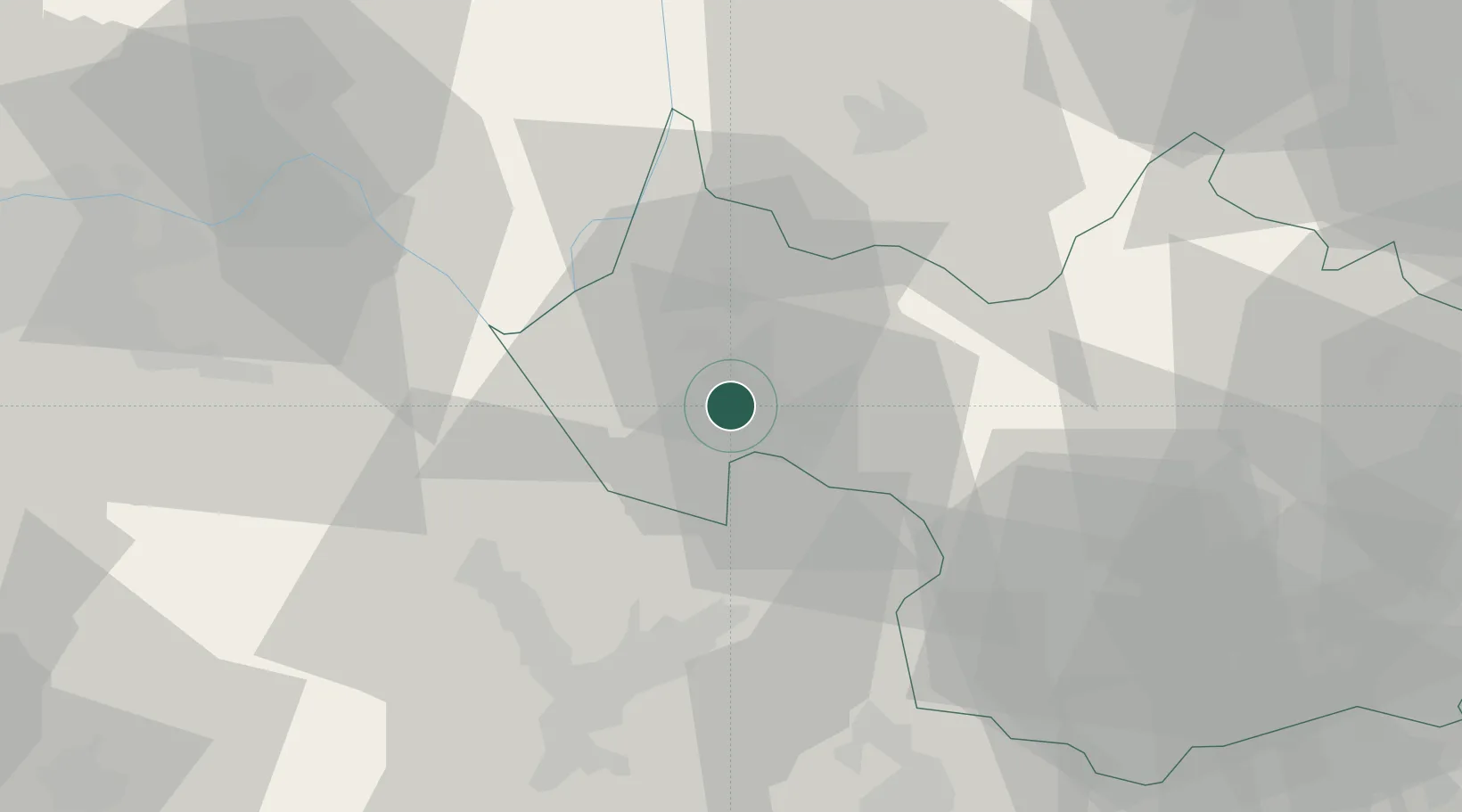
45.5500°, 5.9167°
3,861
Population
2
Transport functions
Transport Functions
Road
Multimodal
Hub Profile
Place type
Populated place
Region
Rhône-Alpes
Population
3,861
Time zone
Europe/Paris
Elevation
361 m
Location
Nearby Logistics Neighbours
Cities
- 1Chambéry2 km
- 2Saint-Baldoph3 km
- 3Challes-les-Eaux5 km
- 4Apremont6 km
- 5Myans6 km
Ports
- 1Nice232 km
- 2Villefranche234 km
- 3Monaco234 km
- 4Cannes239 km
- 5Antibes239 km
Airports
Trade Zones
DatabookThe Record of Consolidated Knowledge
France beyond logistics?