UN/LOCODE hub · France
FRPFN

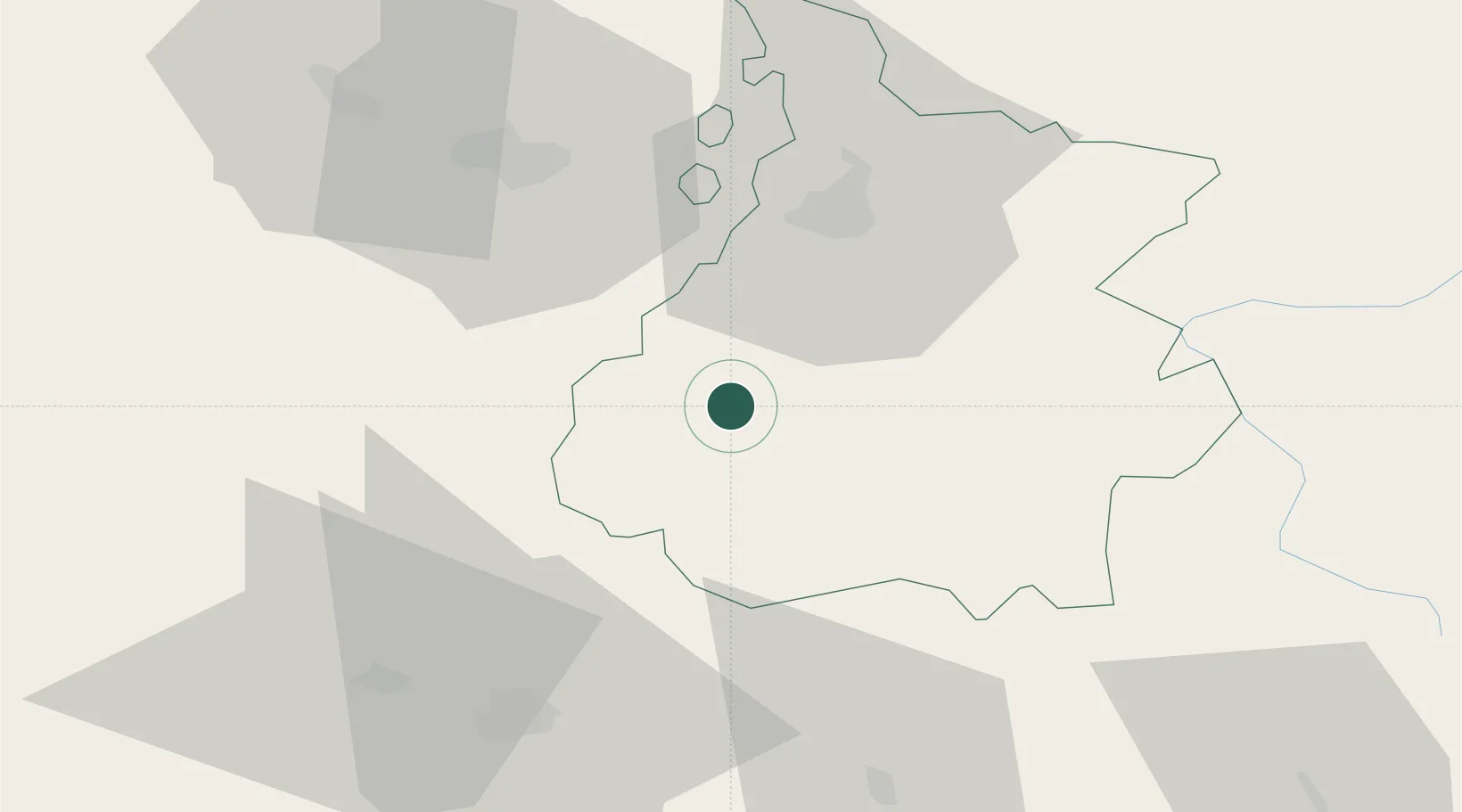
Pierrefitte-Nestalas

42.9667°, -0.0667°
1,314
Population
1
Transport functions

Transport Functions

Multimodal
UN/LOCODE

Hub Profile

Place type
Populated place
GeoNames
Region
Occitanie
GeoNames
Population
1,314
GeoNames
Time zone
Europe/Paris
GeoNames
Elevation
481 m
GeoNames

Location

Location of FRPFN
Natural Earth 10m (public domain) · Occitanie · FRPFN · 42.97, -0.07GoogleOSMYandex

Nearby Logistics Neighbours

Cities
  1. 1Bagnères-de-Bigorre21 km
  2. 2Lies26 km
  3. 3Coarraze26 km
  4. 4Momères27 km
  5. 5Sallent de Gallego31 km
Nearest neighbours — logibook spatial index (haversine) over the source coordinates
Ports
  1. 1Bayonne128 km
  2. 2Puerto De Pasajes157 km
  3. 3Bordeaux215 km
  4. 4Bermeo221 km
  5. 5Ambes231 km
Nearest neighbours — logibook spatial index (haversine) over the source coordinates
Airports
  1. 1Tarbes-Lourdes-Pyrénées Airport24 km
  2. 2Pau Pyrénées Airport54 km
  3. 3Aérodrome de Saint-Girons - Antichan95 km
  4. 4Auch Gers Airfield96 km
  5. 5Mont-de-Marsan (BA 118) Air Base111 km
Nearest neighbours — logibook spatial index (haversine) over the source coordinates
Trade Zones
  1. 1ZFU Toulouse141 km
  2. 2Depósito Franco de Pasajes (Guipúzcoa)156 km
  3. 3Depósito Franco de Zaragoza158 km
  4. 4ZFU Hauts de Garonne211 km
  5. 5Port de Bordeaux219 km
Nearest neighbours — logibook spatial index (haversine) over the source coordinates
DatabookThe Record of Consolidated Knowledge
France beyond logistics?
Browse databook

All Sources

LocationsUN/LOCODE
UN/LOCODE — free
LocationsGeoNames
CC BY 4.0
Portsthe NGA World Port Index
Public domain (US gov)
AirportsOurAirports
Public domain
Trade Zonesthe World Bank SEZ database
CC BY 4.0
Trade ZonesOpen Zone Map
CC BY
← France locations