Transport Functions
Rail
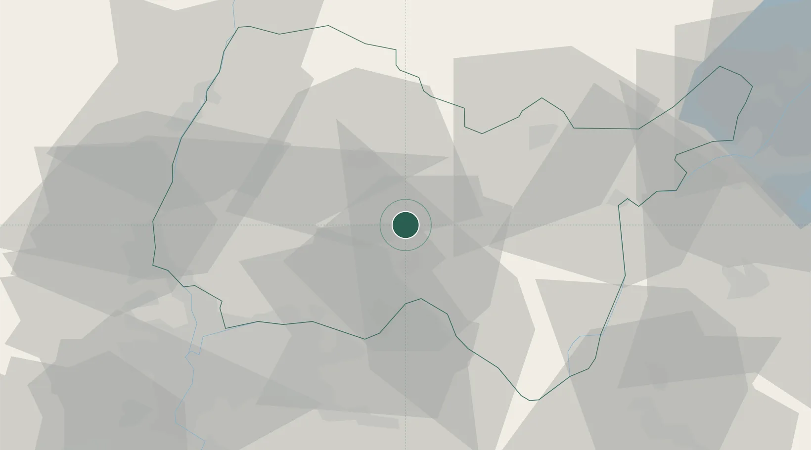
Hub Profile
Place type
Populated place
Region
Rhône-Alpes
Population
2,867
Time zone
Europe/Paris
Elevation
279 m
Location
Nearby Logistics Neighbours
Cities
- 1Saint-Jean-le-Vieux5 km
- 2Jujurieux7 km
- 3Mérignat8 km
- 4Cerdon11 km
- 5Boyeux-Saint-Jérôme11 km
Ports
- 1Fos295 km
- 2Port-de-Bouc296 km
- 3Port Saint Louis Du Rhone299 km
- 4Nice303 km
- 5Marseille304 km
Airports
- 1Ambérieu Air Base (BA 278)7 km
- 2Lyon Saint-Exupéry Airport41 km
- 3Lyon Bron Airport47 km
- 4Mâcon-Charnay Airfield50 km
- 5Annecy Meythet airport61 km
Trade Zones
- 1ZFU Vaulx-en-Velin44 km
- 2ZFU Rillieux-la-Pape44 km
- 3ZFU Lyon 9e51 km
- 4ZFU Vénissieux54 km
- 5Port Franc de Geneve60 km
DatabookThe Record of Consolidated Knowledge
France beyond logistics?