UN/LOCODE hub · France
FRSJX
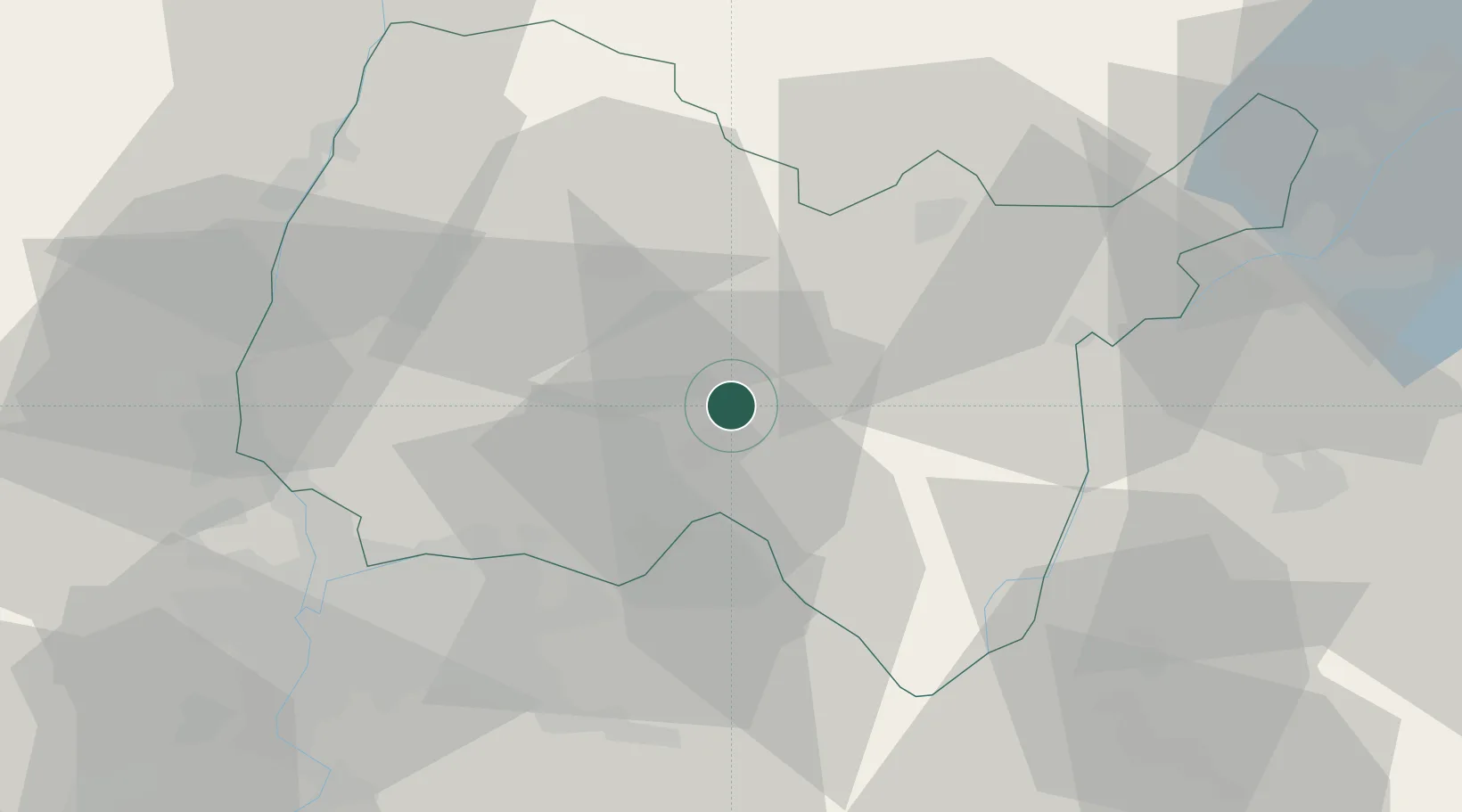
Saint-Jean-le-Vieux
46.0167°, 5.3833°
1,518
Population
2
Transport functions
Transport Functions
Road
Multimodal
Hub Profile
Place type
Populated place
Region
Rhône-Alpes
Population
1,518
Time zone
Europe/Paris
Elevation
258 m
Location
Nearby Logistics Neighbours
Cities
- 1Jujurieux3 km
- 2Pont-d'Ain5 km
- 3Boyeux-Saint-Jérôme6 km
- 4Mérignat7 km
- 5Saint-Denis-en-Bugey8 km
Ports
- 1Fos292 km
- 2Port-de-Bouc293 km
- 3Port Saint Louis Du Rhone296 km
- 4Nice298 km
- 5Villefranche299 km
Airports
- 1Ambérieu Air Base (BA 278)5 km
- 2Lyon Saint-Exupéry Airport40 km
- 3Lyon Bron Airport47 km
- 4Mâcon-Charnay Airfield55 km
- 5Annecy Meythet airport56 km
Trade Zones
- 1ZFU Vaulx-en-Velin44 km
- 2ZFU Rillieux-la-Pape46 km
- 3ZFU Lyon 9e52 km
- 4ZFU Vénissieux55 km
- 5Port Franc de Geneve58 km
DatabookThe Record of Consolidated Knowledge
France beyond logistics?