Transport Functions
Multimodal
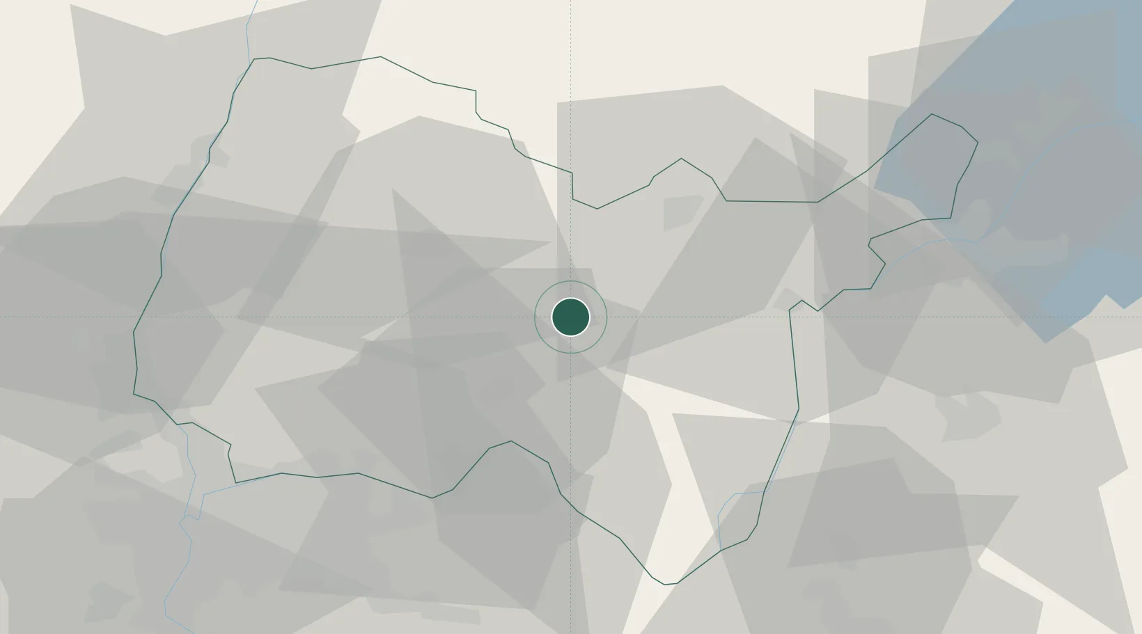
Hub Profile
Place type
Populated place
Region
Rhône-Alpes
Population
734
Time zone
Europe/Paris
Elevation
324 m
Location
Nearby Logistics Neighbours
Cities
- 1Mérignat3 km
- 2Jujurieux7 km
- 3Boyeux-Saint-Jérôme7 km
- 4Saint-Jean-le-Vieux10 km
- 5Pont-d'Ain11 km
Ports
- 1Fos300 km
- 2Port-de-Bouc301 km
- 3Nice301 km
- 4Villefranche302 km
- 5Monaco303 km
Airports
Trade Zones
DatabookThe Record of Consolidated Knowledge
France beyond logistics?