Transport Functions
Multimodal
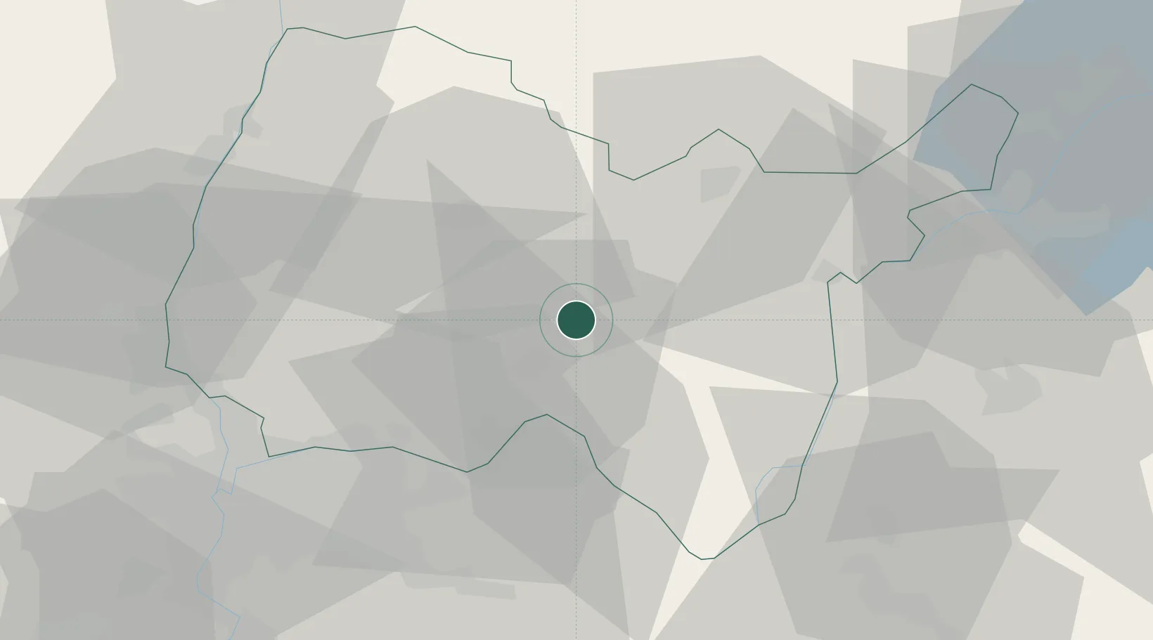
Hub Profile
Place type
Populated place
Region
Rhône-Alpes
Population
1,871
Time zone
Europe/Paris
Elevation
297 m
Location
Nearby Logistics Neighbours
Cities
- 1Saint-Jean-le-Vieux3 km
- 2Mérignat4 km
- 3Boyeux-Saint-Jérôme4 km
- 4Pont-d'Ain7 km
- 5Cerdon7 km
Ports
- 1Fos294 km
- 2Port-de-Bouc295 km
- 3Nice298 km
- 4Port Saint Louis Du Rhone299 km
- 5Villefranche300 km
Airports
- 1Ambérieu Air Base (BA 278)9 km
- 2Lyon Saint-Exupéry Airport43 km
- 3Lyon Bron Airport50 km
- 4Annecy Meythet airport54 km
- 5Mâcon-Charnay Airfield56 km
Trade Zones
- 1ZFU Vaulx-en-Velin47 km
- 2ZFU Rillieux-la-Pape49 km
- 3Port Franc de Geneve55 km
- 4Geneva Cointrin International Airport Free Port55 km
- 5ZFU Lyon 9e55 km
DatabookThe Record of Consolidated Knowledge
France beyond logistics?