Transport Functions
Rail
Road
Hub Profile
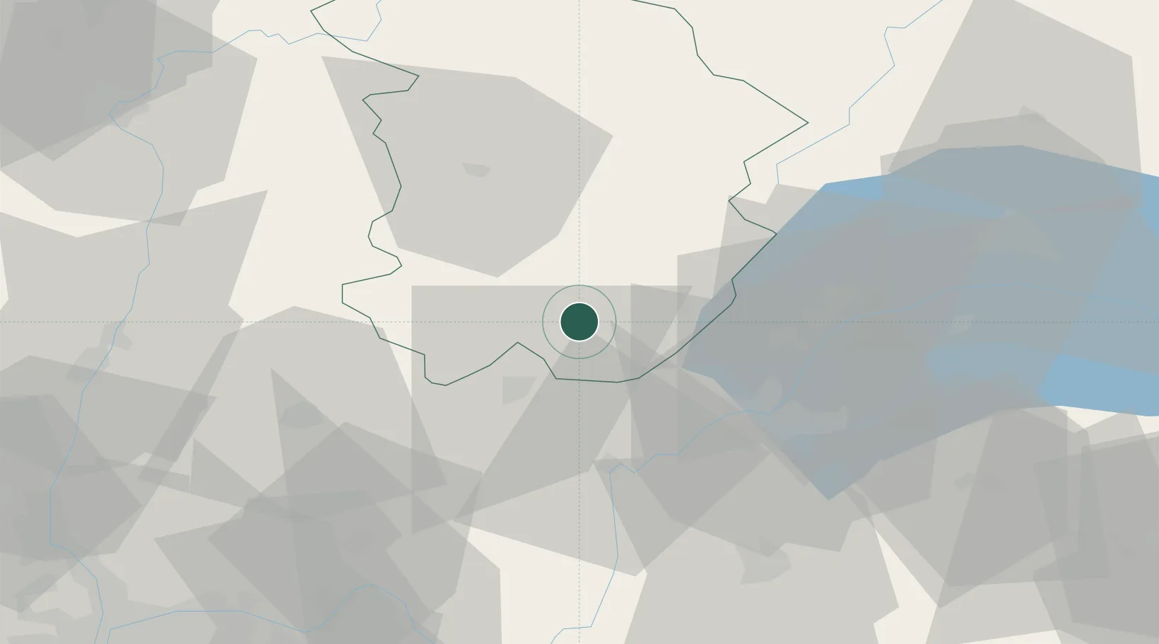
Place type
Populated place
Region
Bourgogne
Population
577
Time zone
Europe/Paris
Elevation
687 m
Location
Nearby Logistics Neighbours
Cities
- 1Chassal2 km
- 2Molinges4 km
- 3Saint-Claude8 km
- 4Oyonnax17 km
- 5Orgelet20 km
Ports
- 1Savona314 km
- 2Rada Di Vado316 km
- 3Nice321 km
- 4Monaco322 km
- 5Villefranche322 km
Airports
DatabookThe Record of Consolidated Knowledge
France beyond logistics?