Transport Functions
Multimodal
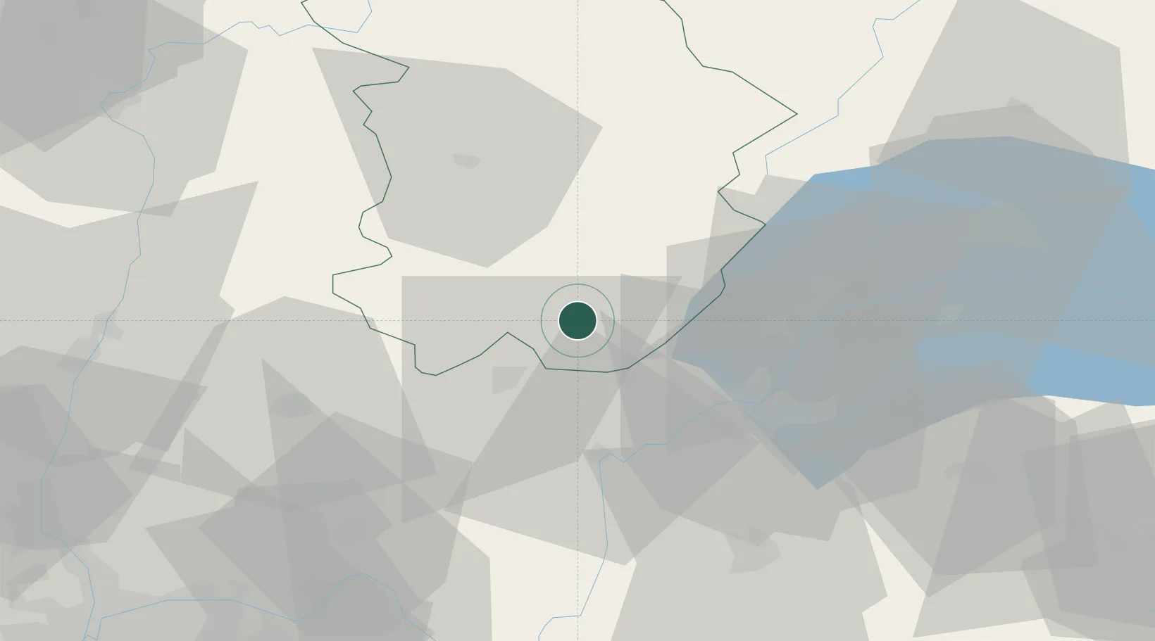
Hub Profile
Place type
Populated place
Region
Bourgogne
Population
529
Time zone
Europe/Paris
Elevation
358 m
Location
Nearby Logistics Neighbours
Cities
- 1Pratz2 km
- 2Molinges2 km
- 3Saint-Claude7 km
- 4Oyonnax17 km
- 5Orgelet22 km
Ports
- 1Savona312 km
- 2Rada Di Vado313 km
- 3Nice319 km
- 4Monaco320 km
- 5Villefranche320 km
Airports
DatabookThe Record of Consolidated Knowledge
France beyond logistics?