UN/LOCODE hub · France
FRNVK

Nivigne et Suran

46.2667°, 5.4333°
2
Transport functions

Transport Functions

Road
Multimodal
UN/LOCODE

Hub Profile

Region
01
GeoNames

Location

Location of FRNVK
Natural Earth 10m (public domain) · 01 · FRNVK · 46.27, 5.43GoogleOSMYandex

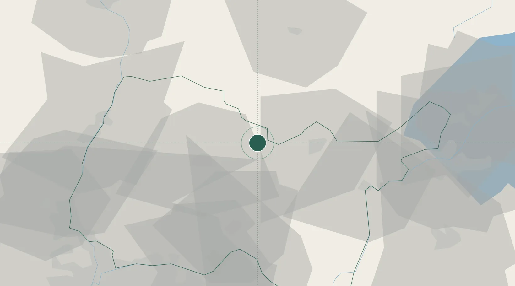
Nearby Logistics Neighbours

Cities
  1. 1Villereversure10 km
  2. 2Journans15 km
  3. 3Montagnat16 km
  4. 4Oyonnax17 km
  5. 5Saint-Amour20 km
Nearest neighbours — logibook spatial index (haversine) over the source coordinates
Ports
  1. 1Fos320 km
  2. 2Nice320 km
  3. 3Port-de-Bouc321 km
  4. 4Villefranche322 km
  5. 5Monaco322 km
Nearest neighbours — logibook spatial index (haversine) over the source coordinates
Airports
  1. 1Ambérieu Air Base (BA 278)32 km
  2. 2Mâcon-Charnay Airfield49 km
  3. 3Geneva Cointrin International Airport52 km
  4. 4Annecy Meythet airport64 km
  5. 5Annemasse Airfield65 km
Nearest neighbours — logibook spatial index (haversine) over the source coordinates
Trade Zones
  1. 1Geneva Cointrin International Airport Free Port50 km
  2. 2Port Franc de Geneve51 km
  3. 3Geneva Freeport, La Praille, Geneva54 km
  4. 4ZFU Rillieux-la-Pape66 km
  5. 5ZFU Vaulx-en-Velin67 km
Nearest neighbours — logibook spatial index (haversine) over the source coordinates
DatabookThe Record of Consolidated Knowledge
France beyond logistics?
Browse databook

All Sources

LocationsUN/LOCODE
UN/LOCODE — free
Portsthe NGA World Port Index
Public domain (US gov)
AirportsOurAirports
Public domain
Trade Zonesthe World Bank SEZ database
CC BY 4.0
Trade ZonesOpen Zone Map
CC BY
← France locations