Transport Functions
Multimodal
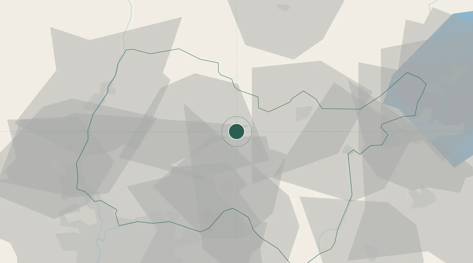
Hub Profile
Place type
Populated place
Region
Rhône-Alpes
Population
1,306
Time zone
Europe/Paris
Elevation
295 m
Location
Nearby Logistics Neighbours
Cities
- 1Journans5 km
- 2Montagnat8 km
- 3Nivigne et Suran10 km
- 4Cerdon13 km
- 5Mérignat14 km
Ports
- 1Fos310 km
- 2Port-de-Bouc311 km
- 3Nice314 km
- 4Port Saint Louis Du Rhone315 km
- 5Villefranche315 km
Airports
Trade Zones
DatabookThe Record of Consolidated Knowledge
France beyond logistics?