Transport Functions
Multimodal
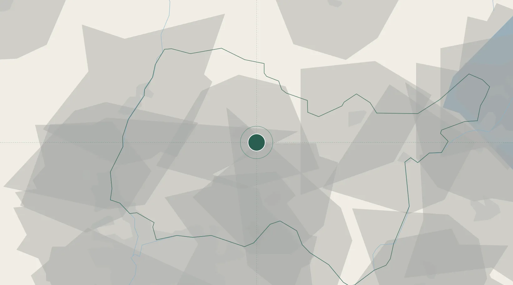
Hub Profile
Place type
Populated place
Region
Rhône-Alpes
Population
1,580
Time zone
Europe/Paris
Elevation
244 m
Location
Nearby Logistics Neighbours
Cities
- 1Journans4 km
- 2Péronnas7 km
- 3Villereversure8 km
- 4Servas10 km
- 5Pont-d'Ain14 km
Ports
- 1Fos307 km
- 2Port-de-Bouc309 km
- 3Port Saint Louis Du Rhone312 km
- 4Nice316 km
- 5Marseille317 km
Airports
Trade Zones
- 1ZFU Rillieux-la-Pape50 km
- 2ZFU Vaulx-en-Velin51 km
- 3ZFU Lyon 9e57 km
- 4Geneva Cointrin International Airport Free Port62 km
- 5ZFU Vénissieux62 km
DatabookThe Record of Consolidated Knowledge
France beyond logistics?