UN/LOCODE hub · France
FRSTR

Saint-Amour

46.4333°, 5.3500°
2,161
Population
1
Transport functions

Transport Functions

Rail
UN/LOCODE

Hub Profile

Place type
Populated place
GeoNames
Region
Bourgogne
GeoNames
Population
2,161
GeoNames
Time zone
Europe/Paris
GeoNames
Elevation
256 m
GeoNames

Location

Location of FRSTR
Natural Earth 10m (public domain) · Bourgogne · FRSTR · 46.43, 5.35GoogleOSMYandex

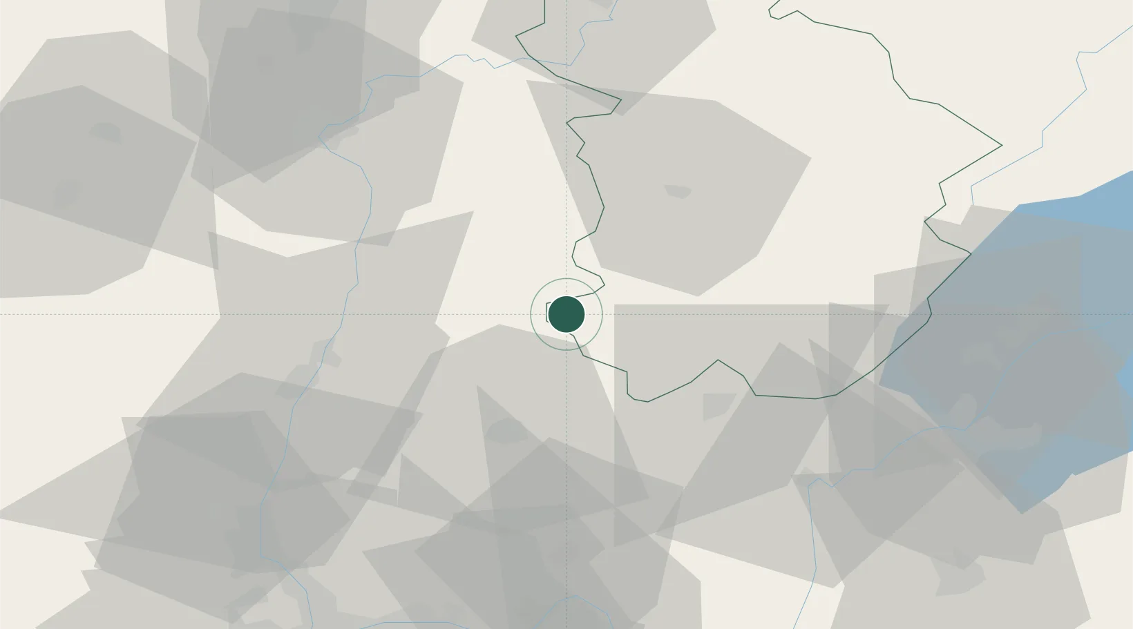
Nearby Logistics Neighbours

Cities
  1. 1Le Miroir9 km
  2. 2Sagy19 km
  3. 3Rotalier20 km
  4. 4Nivigne et Suran20 km
  5. 5Montrevel-en-Bresse20 km
Nearest neighbours — logibook spatial index (haversine) over the source coordinates
Ports
  1. 1Fos337 km
  2. 2Port-de-Bouc339 km
  3. 3Nice340 km
  4. 4Savona340 km
  5. 5Villefranche341 km
Nearest neighbours — logibook spatial index (haversine) over the source coordinates
Airports
  1. 1Mâcon-Charnay Airfield45 km
  2. 2Ambérieu Air Base (BA 278)50 km
  3. 3Geneva Cointrin International Airport62 km
  4. 4Dole Tavaux Airport68 km
  5. 5Annemasse Airfield76 km
Nearest neighbours — logibook spatial index (haversine) over the source coordinates
Trade Zones
  1. 1Geneva Cointrin International Airport Free Port61 km
  2. 2Port Franc de Geneve63 km
  3. 3Geneva Freeport, La Praille, Geneva66 km
  4. 4ZFU Rillieux-la-Pape77 km
  5. 5ZFU Vaulx-en-Velin80 km
Nearest neighbours — logibook spatial index (haversine) over the source coordinates
DatabookThe Record of Consolidated Knowledge
France beyond logistics?
Browse databook

All Sources

LocationsUN/LOCODE
UN/LOCODE — free
LocationsGeoNames
CC BY 4.0
Portsthe NGA World Port Index
Public domain (US gov)
AirportsOurAirports
Public domain
Trade Zonesthe World Bank SEZ database
CC BY 4.0
Trade ZonesOpen Zone Map
CC BY
← France locations