Transport Functions
Multimodal
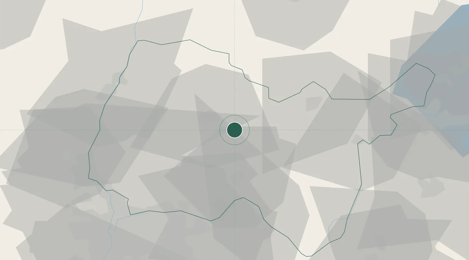
Hub Profile
Place type
Populated place
Region
Rhône-Alpes
Population
367
Time zone
Europe/Paris
Elevation
307 m
Location
Nearby Logistics Neighbours
Cities
- 1Montagnat4 km
- 2Villereversure5 km
- 3Péronnas11 km
- 4Pont-d'Ain11 km
- 5Mérignat12 km
Ports
- 1Fos306 km
- 2Port-de-Bouc307 km
- 3Port Saint Louis Du Rhone310 km
- 4Nice313 km
- 5Villefranche314 km
Airports
Trade Zones
- 1ZFU Rillieux-la-Pape51 km
- 2ZFU Vaulx-en-Velin52 km
- 3Geneva Cointrin International Airport Free Port58 km
- 4ZFU Lyon 9e58 km
- 5Port Franc de Geneve59 km
DatabookThe Record of Consolidated Knowledge
France beyond logistics?