UN/LOCODE hub · France
FRLXA

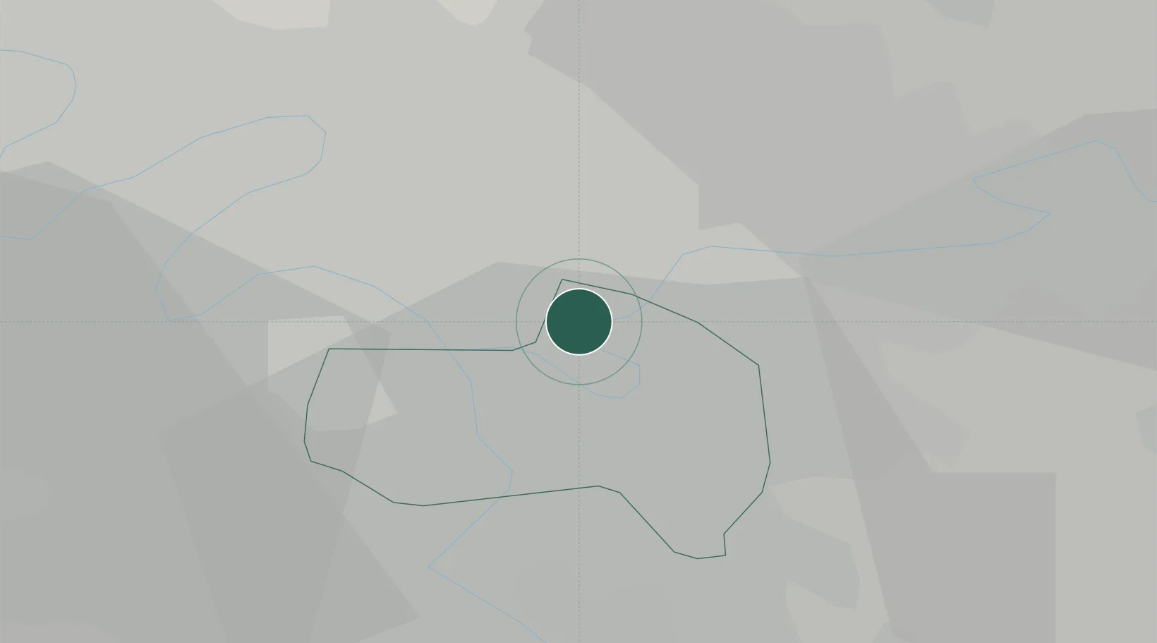
Le Perreux-sur-Marne

48.8333°, 2.4833°
32,015
Population
3
Transport functions

Transport Functions

Port
Rail
Road
UN/LOCODE

Hub Profile

Place type
Populated place
GeoNames
Region
Île-de-France
GeoNames
Population
32,015
GeoNames
Time zone
Europe/Paris
GeoNames
Elevation
57 m
GeoNames

Location

Location of FRLXA
Natural Earth 10m (public domain) · Île-de-France · FRLXA · 48.83, 2.48GoogleOSMYandex

Nearby Logistics Neighbours

Cities
  1. 1Nogent-sur-Marne0 km
  2. 2Bry-sur-Marne/Paris2 km
  3. 3Neuilly-sur-Marne4 km
  4. 4Villiers-sur-Marne5 km
  5. 5Noisy-le-Sec6 km
Nearest neighbours — logibook spatial index (haversine) over the source coordinates
Ports
  1. 1Port Of Rouen124 km
  2. 2Dieppe159 km
  3. 3Le Treport159 km
  4. 4Saint-Valery-Sur-Somme163 km
  5. 5Honfleur177 km
Nearest neighbours — logibook spatial index (haversine) over the source coordinates
Airports
  1. 1Paris-Orly Airport14 km
  2. 2Paris-Le Bourget International Airport15 km
  3. 3Charles de Gaulle International Airport20 km
  4. 4Vélizy-Villacoublay Air Base22 km
  5. 5Melun-Villaroche Airfield29 km
Nearest neighbours — logibook spatial index (haversine) over the source coordinates
Trade Zones
  1. 1ZFU Neuilly-sur-Marne5 km
  2. 2ZFU Champigny-sur-Marne et Chennevières-sur-Marne6 km
  3. 3ZFU Bondy8 km
  4. 4ZFU Clichy-sous-Bois et Montfermeil9 km
  5. 5ZFU Vitry-sur-Seine9 km
Nearest neighbours — logibook spatial index (haversine) over the source coordinates
DatabookThe Record of Consolidated Knowledge
France beyond logistics?
Browse databook

All Sources

LocationsUN/LOCODE
UN/LOCODE — free
LocationsGeoNames
CC BY 4.0
Portsthe NGA World Port Index
Public domain (US gov)
AirportsOurAirports
Public domain
Trade Zonesthe World Bank SEZ database
CC BY 4.0
Trade ZonesOpen Zone Map
CC BY
← France locations