Transport Functions
Rail
Road
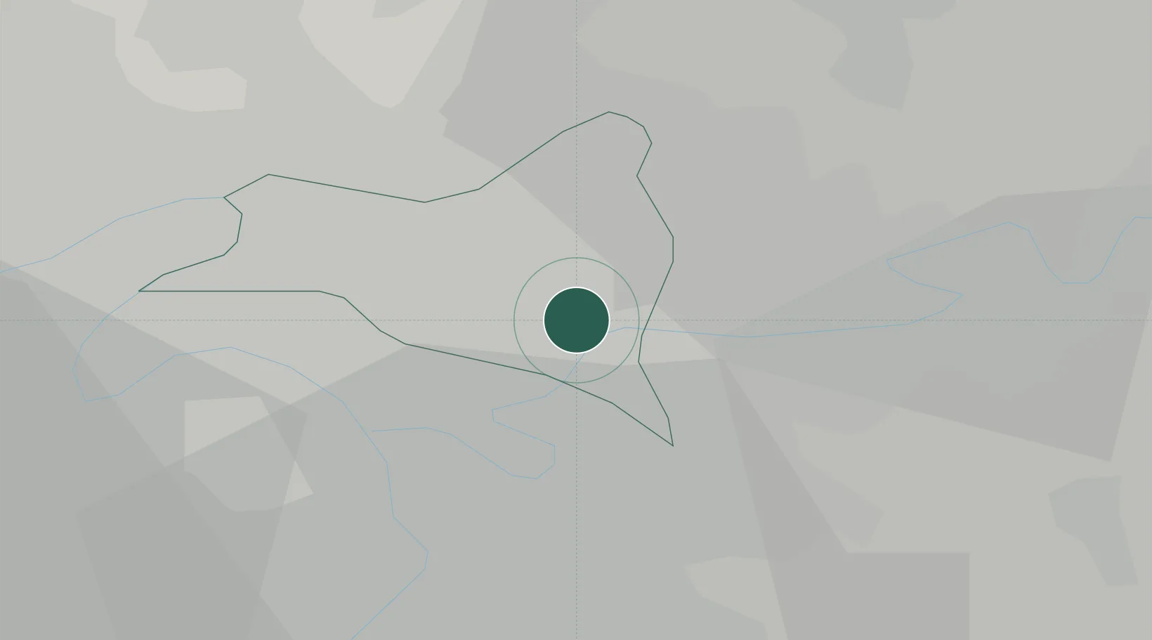
Hub Profile
Place type
Populated place
Region
Île-de-France
Population
38,134
Time zone
Europe/Paris
Elevation
60 m
Location
Nearby Logistics Neighbours
Cities
- 1Le Raincy2 km
- 2Neuilly-sur-Marne4 km
- 3Gournay-sur-Marne4 km
- 4Noisy-le-Sec5 km
- 5Sevran6 km
Ports
- 1Port Of Rouen124 km
- 2Le Treport156 km
- 3Dieppe157 km
- 4Saint-Valery-Sur-Somme159 km
- 5Honfleur179 km
Airports
Trade Zones
DatabookThe Record of Consolidated Knowledge
France beyond logistics?