Transport Functions
Multimodal
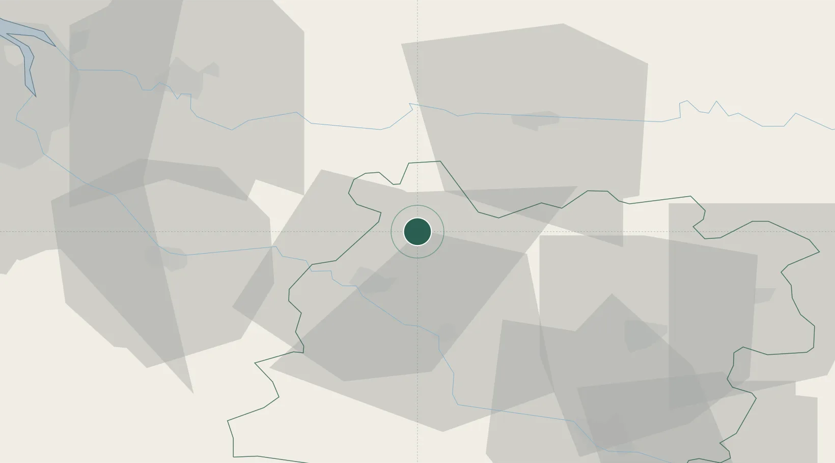
Hub Profile
Place type
Populated place
Region
Nouvelle-Aquitaine
Population
252
Time zone
Europe/Paris
Elevation
85 m
Location
Nearby Logistics Neighbours
Cities
- 1Duras8 km
- 2Saint-Jean-de-Duras8 km
- 3Baleyssagues10 km
- 4Savignac-de-Duras10 km
- 5Castelnau-sur-Gupie11 km
Airports
Trade Zones
- 1ZFU Hauts de Garonne70 km
- 2Port de Bordeaux70 km
- 3ZFU Toulouse147 km
- 4ZFU La Rochelle206 km
- 5Depósito Franco de Pasajes (Guipúzcoa)226 km
DatabookThe Record of Consolidated Knowledge
France beyond logistics?