Transport Functions
Rail
Road
Hub Profile
Place type
Populated place
Region
Rhône-Alpes
Population
6,411
Time zone
Europe/Paris
Elevation
242 m
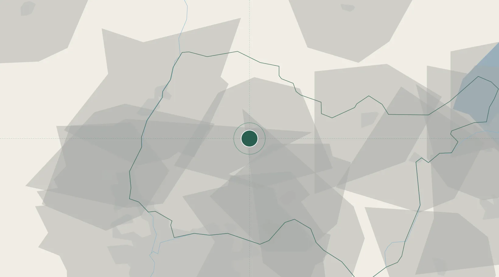
Location
Nearby Logistics Neighbours
Cities
- 1Servas6 km
- 2Montagnat7 km
- 3Polliat9 km
- 4Journans11 km
- 5Villereversure14 km
Ports
- 1Fos309 km
- 2Port-de-Bouc310 km
- 3Port Saint Louis Du Rhone313 km
- 4Marseille319 km
- 5Nice321 km
Airports
Trade Zones
- 1ZFU Rillieux-la-Pape48 km
- 2ZFU Vaulx-en-Velin50 km
- 3ZFU Lyon 9e55 km
- 4ZFU Vénissieux61 km
- 5Geneva Cointrin International Airport Free Port68 km
DatabookThe Record of Consolidated Knowledge
France beyond logistics?