Transport Functions
Rail
Road
Hub Profile
Place type
Populated place
Region
Rhône-Alpes
Population
1,077
Time zone
Europe/Paris
Elevation
265 m
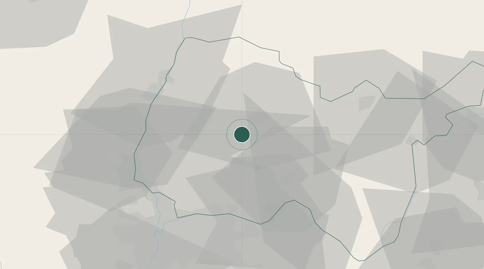
Location
Nearby Logistics Neighbours
Cities
- 1Péronnas6 km
- 2Montagnat10 km
- 3Journans13 km
- 4Polliat13 km
- 5Pont-d'Ain16 km
Ports
- 1Fos303 km
- 2Port-de-Bouc304 km
- 3Port Saint Louis Du Rhone307 km
- 4Marseille314 km
- 5Nice318 km
Airports
Trade Zones
- 1ZFU Rillieux-la-Pape42 km
- 2ZFU Vaulx-en-Velin44 km
- 3ZFU Lyon 9e49 km
- 4ZFU Vénissieux54 km
- 5Geneva Cointrin International Airport Free Port71 km
DatabookThe Record of Consolidated Knowledge
France beyond logistics?