Transport Functions
Multimodal
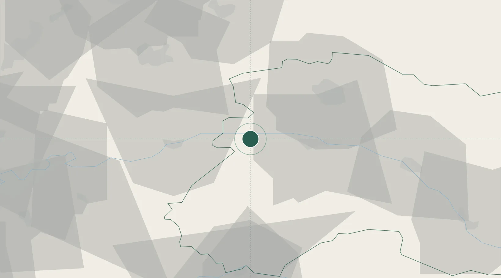
Hub Profile
Place type
Populated place
Region
Grand Est
Time zone
Europe/Paris
Elevation
124 m
Location
Nearby Logistics Neighbours
Cities
- 1Mareuil-le-Port2 km
- 2Troissy2 km
- 3Festigny2 km
- 4Leuvrigny2 km
- 5Port à Binson3 km
Ports
- 1Saint-Valery-Sur-Somme197 km
- 2Port Of Rouen198 km
- 3Le Treport204 km
- 4Bruxelles205 km
- 5Dieppe214 km
Airports
Trade Zones
DatabookThe Record of Consolidated Knowledge
France beyond logistics?