UN/LOCODE hub · France
FRJWQ

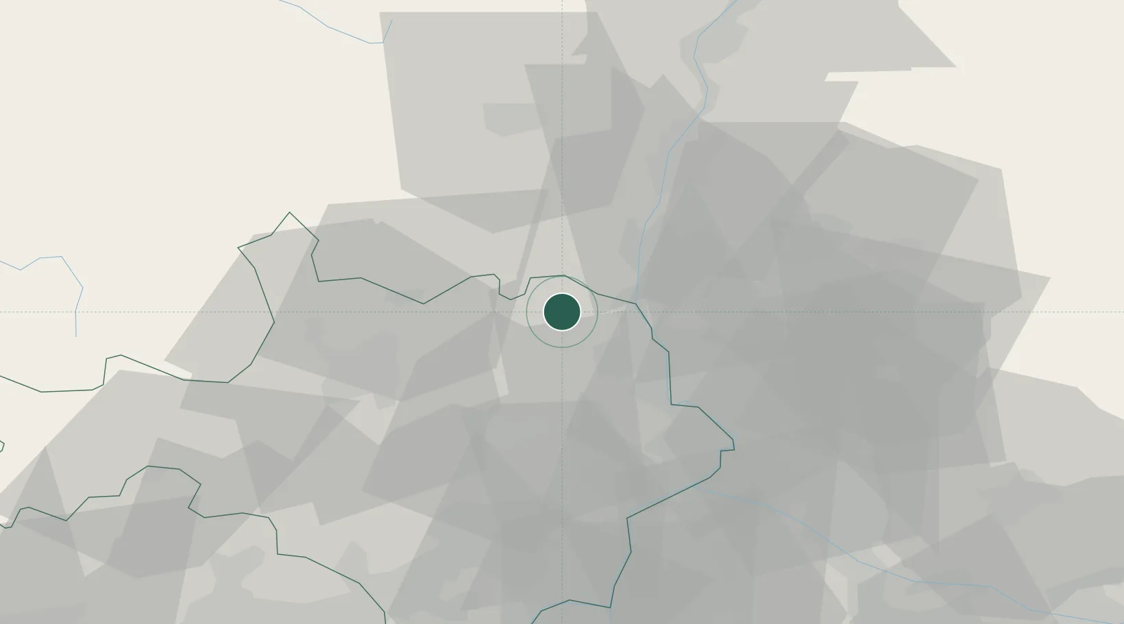
Saint-Christol-de-Rodières

44.2667°, 4.5167°
141
Population
1
Transport functions

Transport Functions

Multimodal
UN/LOCODE

Hub Profile

Place type
Populated place
GeoNames
Region
Occitanie
GeoNames
Population
141
GeoNames
Time zone
Europe/Paris
GeoNames
Elevation
223 m
GeoNames

Location

Location of FRJWQ
Natural Earth 10m (public domain) · Occitanie · FRJWQ · 44.27, 4.52GoogleOSMYandex

Nearby Logistics Neighbours

Cities
  1. 1Laval-Saint-Roman4 km
  2. 2Saint-Martin-d'Ardèche5 km
  3. 3Cornillon6 km
  4. 4Saint-Paulet-de-Caisson7 km
  5. 5Saint-Gervais10 km
Nearest neighbours — logibook spatial index (haversine) over the source coordinates
Ports
  1. 1Fos99 km
  2. 2Port Saint Louis Du Rhone101 km
  3. 3Port-de-Bouc103 km
  4. 4Sete117 km
  5. 5Marseille126 km
Nearest neighbours — logibook spatial index (haversine) over the source coordinates
Airports
  1. 1Orange-Caritat (BA 115) Air Base31 km
  2. 2Aubenas-South Ardèche Airport33 km
  3. 3Aérodrome d'Alès Cévennes37 km
  4. 4Avignon Caumont airport50 km
  5. 5Nîmes-Arles-Camargue Airport57 km
Nearest neighbours — logibook spatial index (haversine) over the source coordinates
Trade Zones
  1. 1ZFU Avignon42 km
  2. 2ZFU Nîmes51 km
  3. 3ZFU Valence78 km
  4. 4ZFU Montpellier91 km
  5. 5ZFU Saint-Barthélémy, Le Canet, Delorme-Paternelle124 km
Nearest neighbours — logibook spatial index (haversine) over the source coordinates
DatabookThe Record of Consolidated Knowledge
France beyond logistics?
Browse databook

All Sources

LocationsUN/LOCODE
UN/LOCODE — free
LocationsGeoNames
CC BY 4.0
Portsthe NGA World Port Index
Public domain (US gov)
AirportsOurAirports
Public domain
Trade Zonesthe World Bank SEZ database
CC BY 4.0
Trade ZonesOpen Zone Map
CC BY
← France locations