UN/LOCODE hub · France
FRVA8

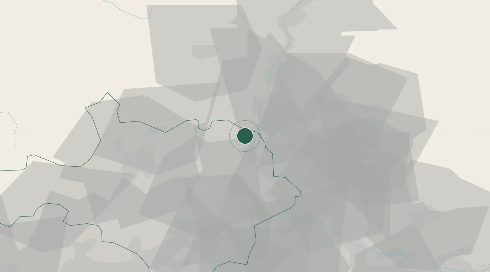
Saint-Paulet-de-Caisson

44.2667°, 4.6000°
1,745
Population
2
Transport functions

Transport Functions

Road
Multimodal
UN/LOCODE

Hub Profile

Place type
Populated place
GeoNames
Region
Occitanie
GeoNames
Population
1,745
GeoNames
Time zone
Europe/Paris
GeoNames
Elevation
81 m
GeoNames

Location

Location of FRVA8
Natural Earth 10m (public domain) · Occitanie · FRVA8 · 44.27, 4.60GoogleOSMYandex

Nearby Logistics Neighbours

Cities
  1. 1Saint-Martin-d'Ardèche5 km
  2. 2Saint-Christol-de-Rodières7 km
  3. 3Laval-Saint-Roman8 km
  4. 4Vénéjan9 km
  5. 5Saint-Gervais10 km
Nearest neighbours — logibook spatial index (haversine) over the source coordinates
Ports
  1. 1Fos97 km
  2. 2Port Saint Louis Du Rhone100 km
  3. 3Port-de-Bouc101 km
  4. 4Sete120 km
  5. 5Marseille122 km
Nearest neighbours — logibook spatial index (haversine) over the source coordinates
Airports
  1. 1Orange-Caritat (BA 115) Air Base26 km
  2. 2Aubenas-South Ardèche Airport36 km
  3. 3Aérodrome d'Alès Cévennes43 km
  4. 4Avignon Caumont airport47 km
  5. 5Nîmes-Arles-Camargue Airport59 km
Nearest neighbours — logibook spatial index (haversine) over the source coordinates
Trade Zones
  1. 1ZFU Avignon39 km
  2. 2ZFU Nîmes53 km
  3. 3ZFU Valence76 km
  4. 4ZFU Montpellier95 km
  5. 5ZFU Marseille 15e et 16e121 km
Nearest neighbours — logibook spatial index (haversine) over the source coordinates
DatabookThe Record of Consolidated Knowledge
France beyond logistics?
Browse databook

All Sources

LocationsUN/LOCODE
UN/LOCODE — free
LocationsGeoNames
CC BY 4.0
Portsthe NGA World Port Index
Public domain (US gov)
AirportsOurAirports
Public domain
Trade Zonesthe World Bank SEZ database
CC BY 4.0
Trade ZonesOpen Zone Map
CC BY
← France locations