Transport Functions
Port
Hub Profile
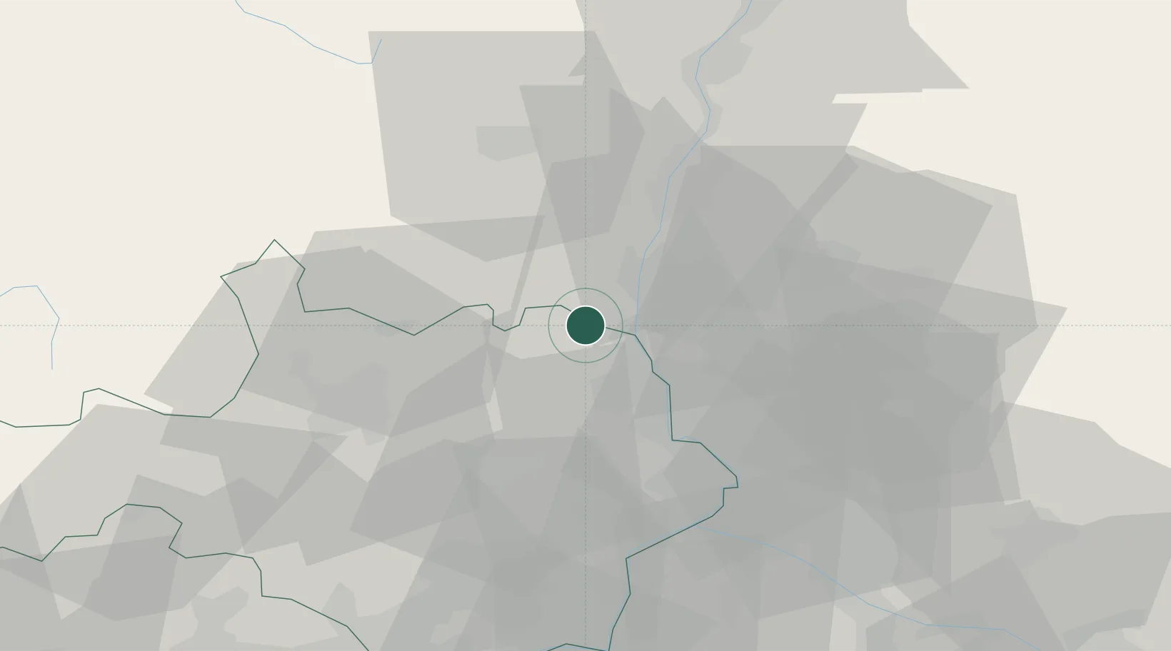
Place type
Populated place
Region
Rhône-Alpes
Time zone
Europe/Paris
Elevation
58 m
Location
Nearby Logistics Neighbours
Cities
- 1Laval-Saint-Roman4 km
- 2Saint-Paulet-de-Caisson5 km
- 3Saint-Christol-de-Rodières5 km
- 4Cornillon11 km
- 5Saint-Gervais13 km
Ports
- 1Fos102 km
- 2Port Saint Louis Du Rhone104 km
- 3Port-de-Bouc106 km
- 4Sete122 km
- 5Marseille127 km
Airports
Trade Zones
- 1ZFU Avignon43 km
- 2ZFU Nîmes56 km
- 3ZFU Valence73 km
- 4ZFU Montpellier96 km
- 5ZFU Marseille 15e et 16e125 km
DatabookThe Record of Consolidated Knowledge
France beyond logistics?