Transport Functions
Multimodal
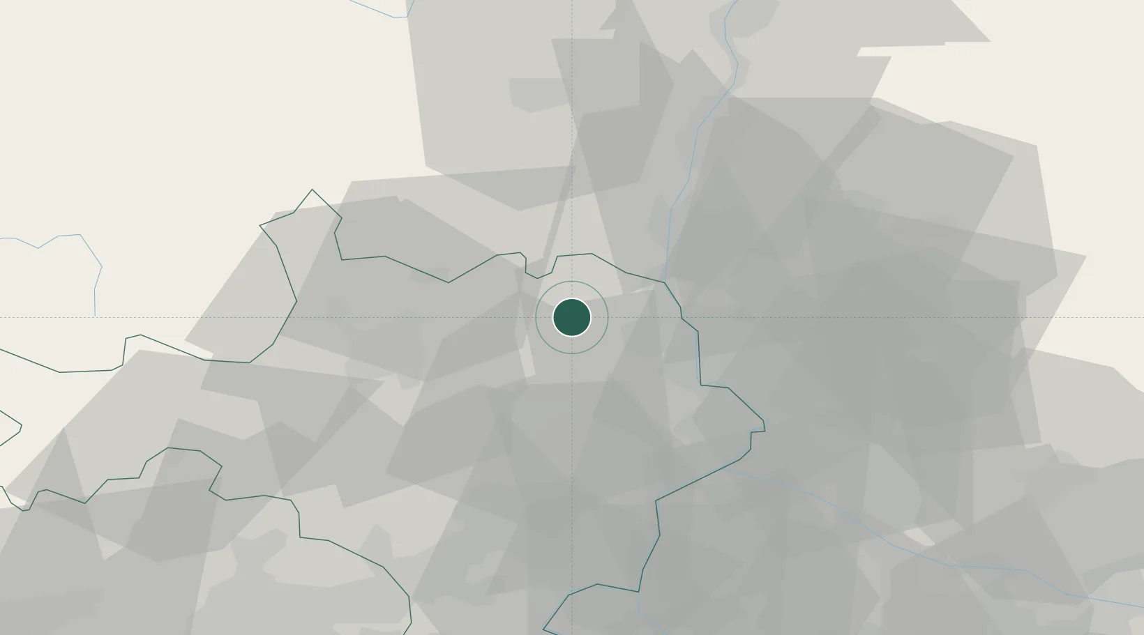
Hub Profile
Place type
Populated place
Region
Occitanie
Population
753
Time zone
Europe/Paris
Elevation
160 m
Location
Nearby Logistics Neighbours
Cities
- 1Saint-Christol-de-Rodières6 km
- 2Saint-Gervais8 km
- 3Sabran9 km
- 4Laval-Saint-Roman10 km
- 5Saint-Paulet-de-Caisson11 km
Ports
- 1Fos95 km
- 2Port Saint Louis Du Rhone96 km
- 3Port-de-Bouc99 km
- 4Sete110 km
- 5Marseille123 km
Airports
Trade Zones
- 1ZFU Avignon39 km
- 2ZFU Nîmes45 km
- 3ZFU Valence84 km
- 4ZFU Montpellier85 km
- 5ZFU Saint-Barthélémy, Le Canet, Delorme-Paternelle121 km
DatabookThe Record of Consolidated Knowledge
France beyond logistics?