Transport Functions
Port
Road
Hub Profile
Place type
Populated place
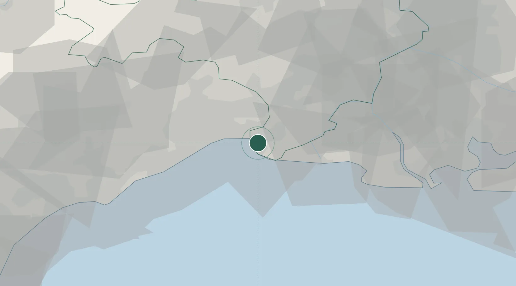
Region
Occitanie
Population
6,368
Time zone
Europe/Paris
Elevation
3 m
Location
Nearby Logistics Neighbours
Cities
- 1La Grande-Motte6 km
- 2Candillargues11 km
- 3Mauguio13 km
- 4Mudaison15 km
- 5Le Cailar17 km
Ports
- 1Sete38 km
- 2Port Saint Louis Du Rhone58 km
- 3Fos62 km
- 4Port-de-Bouc70 km
- 5Marseille103 km
Airports
Trade Zones
- 1ZFU Montpellier25 km
- 2ZFU Nîmes37 km
- 3ZFU Avignon71 km
- 4ZFU Béziers77 km
- 5ZFU Saint-Barthélémy, Le Canet, Delorme-Paternelle94 km
DatabookThe Record of Consolidated Knowledge
France beyond logistics?