Transport Functions
Port
Road
Hub Profile
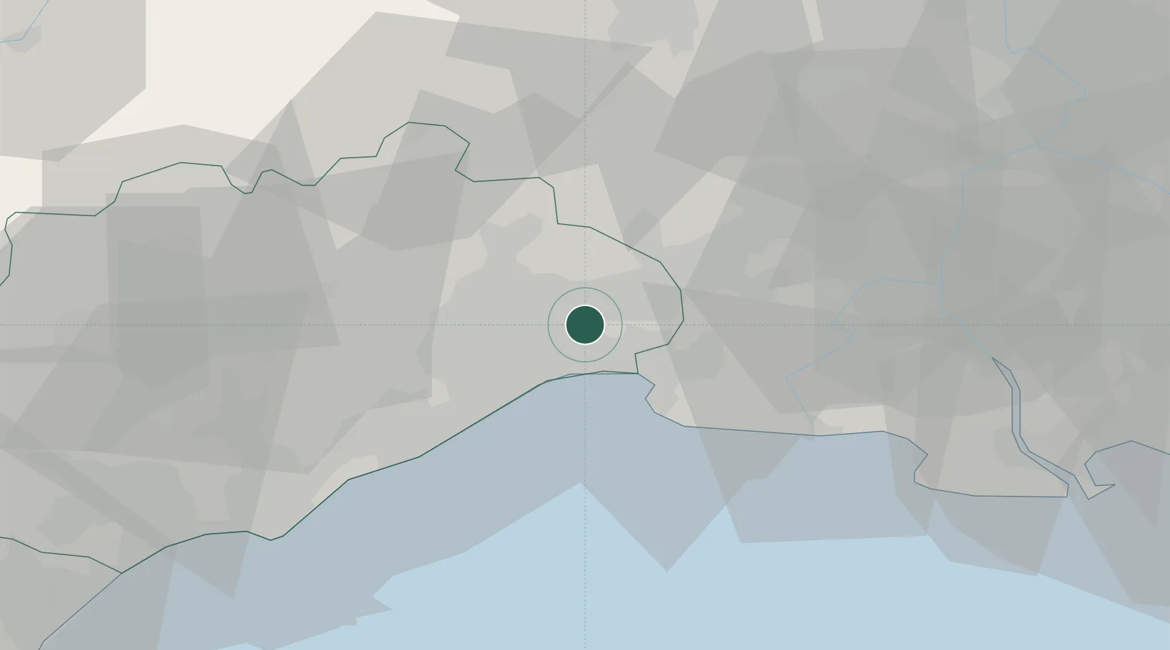
Place type
Populated place
Region
Occitanie
Population
2,500
Time zone
Europe/Paris
Elevation
14 m
Location
Nearby Logistics Neighbours
Cities
- 1Mauguio2 km
- 2Candillargues4 km
- 3Castries6 km
- 4Sussargues8 km
- 5La Grande-Motte9 km
Ports
- 1Sete36 km
- 2Port Saint Louis Du Rhone70 km
- 3Fos74 km
- 4Port-de-Bouc82 km
- 5Port-La-Nouvelle103 km
Airports
Trade Zones
- 1ZFU Montpellier14 km
- 2ZFU Nîmes34 km
- 3ZFU Avignon72 km
- 4ZFU Béziers73 km
- 5ZFU Saint-Barthélémy, Le Canet, Delorme-Paternelle106 km
DatabookThe Record of Consolidated Knowledge
France beyond logistics?