Transport Functions
Multimodal
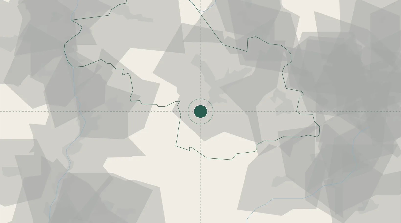
Hub Profile
Place type
Populated place
Region
Rhône-Alpes
Population
1,839
Time zone
Europe/Paris
Elevation
960 m
Location
Nearby Logistics Neighbours
Cities
- 1Champ-sur-Drac11 km
- 2Champagnier12 km
- 3Vizille14 km
- 4Brié-et-Angonnes18 km
- 5Herbeys19 km
Ports
- 1Port-de-Bouc187 km
- 2Fos187 km
- 3Marseille190 km
- 4Port Saint Louis Du Rhone193 km
- 5Nice198 km
Airports
Trade Zones
- 1ZFU Grenoble19 km
- 2ZFU Valence62 km
- 3ZFU Vénissieux97 km
- 4ZFU Vaulx-en-Velin101 km
- 5ZFU Lyon 9e105 km
DatabookThe Record of Consolidated Knowledge
France beyond logistics?