Transport Functions
Multimodal
Hub Profile
Place type
Populated place
Region
Rhône-Alpes
Population
1,202
Time zone
Europe/Paris
Elevation
525 m
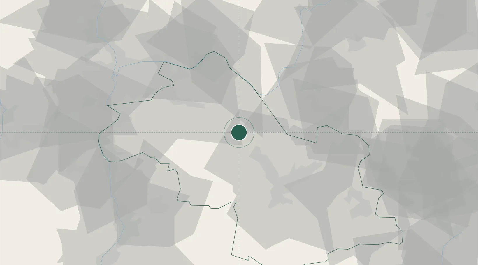
Location
Nearby Logistics Neighbours
Cities
- 1Chirens5 km
- 2Réaumont9 km
- 3Biol10 km
- 4Le Grand-Lemps10 km
- 5Voiron11 km
Ports
- 1Fos231 km
- 2Port-de-Bouc232 km
- 3Port Saint Louis Du Rhone236 km
- 4Marseille238 km
- 5Nice240 km
Airports
Trade Zones
- 1ZFU Grenoble33 km
- 2ZFU Vénissieux58 km
- 3ZFU Vaulx-en-Velin58 km
- 4ZFU Lyon 9e65 km
- 5ZFU Rillieux-la-Pape65 km
DatabookThe Record of Consolidated Knowledge
France beyond logistics?