Transport Functions
Multimodal
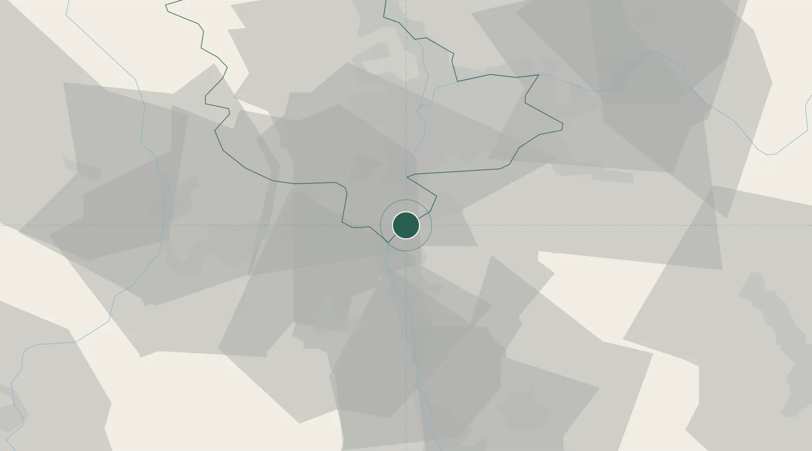
Hub Profile
Region
69
Location
Nearby Logistics Neighbours
Cities
- 1Saint-Cyr-sur-le-Rhône5 km
- 2Les Roches-de-Condrieu5 km
- 3Vérin5 km
- 4Les Côtes-d'Arey6 km
- 5Givors9 km
Ports
- 1Fos230 km
- 2Port-de-Bouc232 km
- 3Port Saint Louis Du Rhone234 km
- 4Marseille245 km
- 5Sete248 km
Airports
Trade Zones
- 1ZFU Vénissieux24 km
- 2ZFU Lyon 9e32 km
- 3ZFU Vaulx-en-Velin35 km
- 4ZFU Rillieux-la-Pape39 km
- 5ZFU Saint-Etienne40 km
DatabookThe Record of Consolidated Knowledge
France beyond logistics?